Transport Functions
Multimodal
Hub Profile
Place type
Local administrative seat
Region
Baden-Wurttemberg
Population
2,304
Time zone
Europe/Berlin
Elevation
468 m
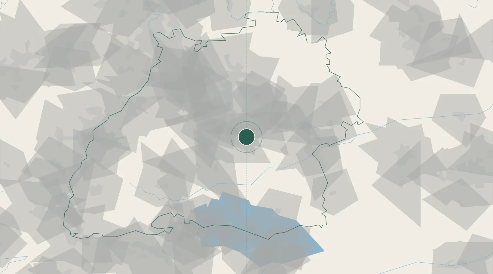
Location
Nearby Logistics Neighbours
Cities
- 1Grafenberg3 km
- 2Neuffen3 km
- 3Frickenhausen4 km
- 4Grossbettlingen6 km
- 5Neckartailfingen10 km
Ports
- 1Porto Di Lido-Venezia420 km
- 2Nogaro425 km
- 3Porto Di Chioggia432 km
- 4Grado437 km
- 5Bruxelles441 km
Airports
- 1Stuttgart Airport18 km
- 2Mengen-Hohentengen Airfield55 km
- 3Laupheim Air Base56 km
- 4Adolf Würth Airport71 km
- 5Donaueschingen-Villingen Airfield88 km
Trade Zones
- 1ZFU Neuhof116 km
- 2ZFU Hautepierre121 km
- 3ZFU Mulhouse173 km
- 4ZFU La Cité Behren-lès-Forbach189 km
- 5ZFU Belfort213 km
DatabookThe Record of Consolidated Knowledge
Germany beyond logistics?