UN/LOCODE hub · Germany
DEOGM

Bönnigheim

49.0333°, 9.1000°
2
Transport functions

Transport Functions

Road
Multimodal
UN/LOCODE

Hub Profile

Region
BW
GeoNames

Location

Location of DEOGM
Natural Earth 10m (public domain) · BW · DEOGM · 49.03, 9.10GoogleOSMYandex

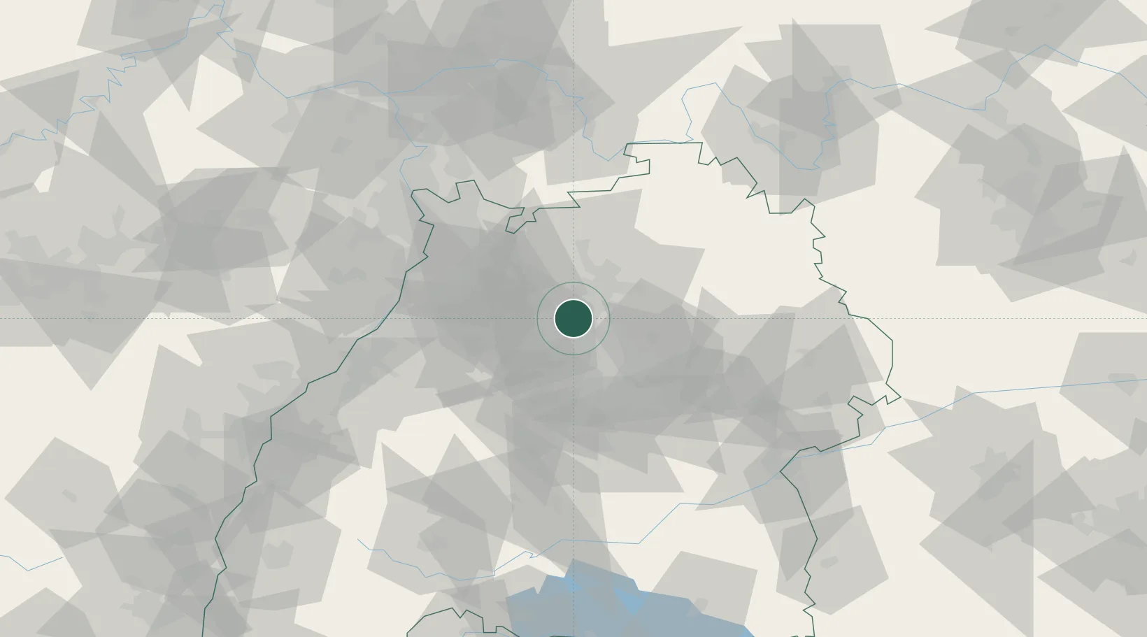
Nearby Logistics Neighbours

Cities
  1. 1Walheim4 km
  2. 2Lauffen am Neckar5 km
  3. 3Neckarwestheim6 km
  4. 4Nordheim8 km
  5. 5Schozach8 km
Nearest neighbours — logibook spatial index (haversine) over the source coordinates
Ports
  1. 1Bruxelles396 km
  2. 2Antwerpen414 km
  3. 3Dordrecht442 km
  4. 4Hansweert451 km
  5. 5Rotterdam456 km
Nearest neighbours — logibook spatial index (haversine) over the source coordinates
Airports
  1. 1Stuttgart Airport39 km
  2. 2Adolf Würth Airport51 km
  3. 3Mannheim-City Airport65 km
  4. 4Niederstetten Army Air Base74 km
  5. 5Karlsruhe Baden-Baden Airport80 km
Nearest neighbours — logibook spatial index (haversine) over the source coordinates
Trade Zones
  1. 1ZFU Neuhof112 km
  2. 2ZFU Hautepierre114 km
  3. 3ZFU La Cité Behren-lès-Forbach159 km
  4. 4ZFU Mulhouse193 km
  5. 5ZFU Metz214 km
Nearest neighbours — logibook spatial index (haversine) over the source coordinates
DatabookThe Record of Consolidated Knowledge
Germany beyond logistics?
Browse databook

All Sources

LocationsUN/LOCODE
UN/LOCODE — free
Portsthe NGA World Port Index
Public domain (US gov)
AirportsOurAirports
Public domain
Trade Zonesthe World Bank SEZ database
CC BY 4.0
Trade ZonesOpen Zone Map
CC BY
← Germany locations