Transport Functions
Rail
Road
Multimodal
Hub Profile
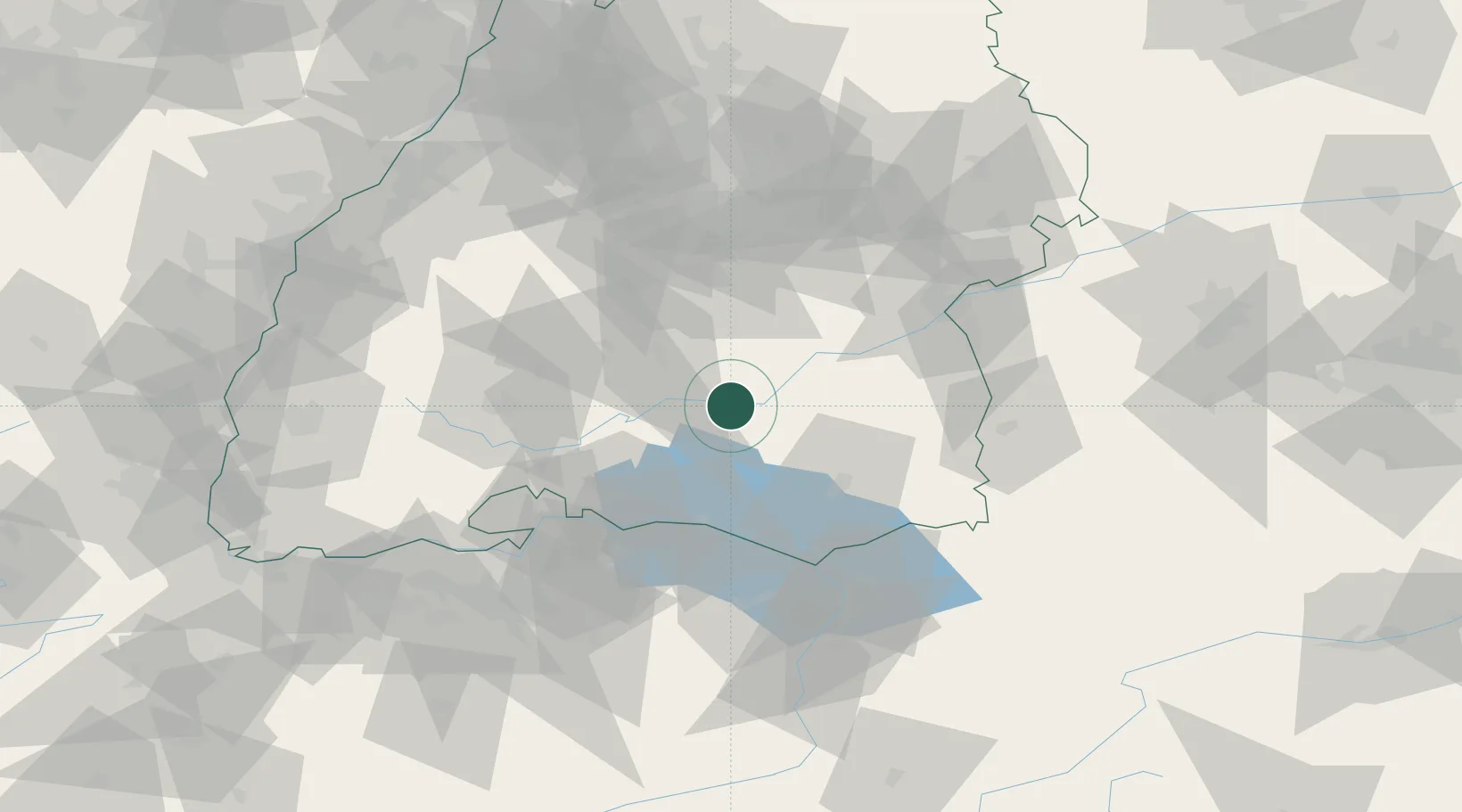
Place type
Local administrative seat
Region
Baden-Wurttemberg
Population
3,827
Time zone
Europe/Berlin
Elevation
568 m
Location
Nearby Logistics Neighbours
Cities
- 1Langenenslingen12 km
- 2Herbertingen12 km
- 3Neuwilen13 km
- 4Messkirch15 km
- 5Ertingen15 km
Ports
- 1Porto Di Lido-Venezia381 km
- 2Porto Di Chioggia391 km
- 3Nogaro392 km
- 4Grado404 km
- 5Genova409 km
Airports
Trade Zones
- 1ZFU Neuhof123 km
- 2ZFU Hautepierre130 km
- 3ZFU Mulhouse148 km
- 4Livigno Free Trade Zone182 km
- 5ZFU Belfort190 km
DatabookThe Record of Consolidated Knowledge
Germany beyond logistics?