Free Trade Zone · Italy
Livigno Free Trade Zone Active
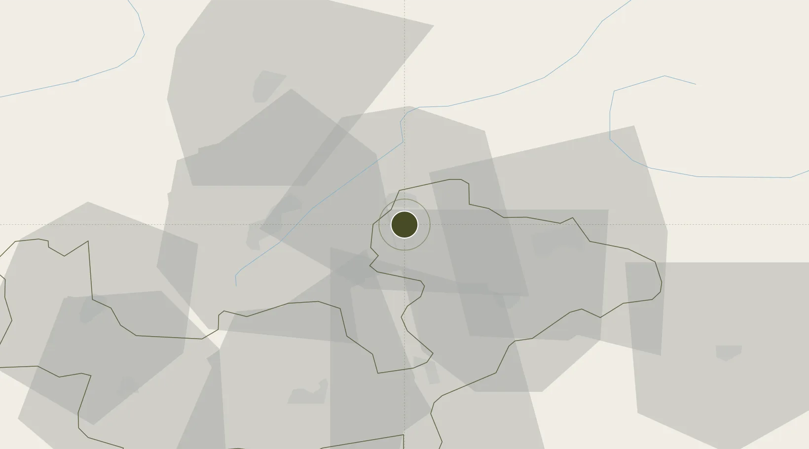
46.5323°, 10.0990°
22,730 ha
Zone area
218.9 km
Nearest port
16.4 km
Nearest airport
Gateway access
Zone profile
Zone type
Free Trade Zone
Region
Sondrio
Status
Active
Management
Public
Operator
Comune Council of Livigno
Legal framework
European Commission Special Report No 2/93 (On the customs territory of the EU)
Location
Nearby Logistics Neighbours
Ports
- 1Porto Di Lido-Venezia219 km
- 2Porto Di Chioggia223 km
- 3Nogaro252 km
- 4Genova254 km
- 5Chiavari - Lavagna255 km
Airports
- 1Engadin Airport16 km
- 2Bolzano Airport94 km
- 3Trento-Mattarello Airport97 km
- 4Il Caravaggio International Airport101 km
- 5Lugano Airport109 km
Cities
- 1Livigno3 km
- 2Silvaplana26 km
- 3Sondalo28 km
- 4Tovo di Sant'Agata34 km
- 5Scuol34 km
Trade Zones
- 1Magazzini Generali Con Chiasso117 km
- 2Consorzio Zona Industriale e Porto Fluviale di Padova190 km
- 3Free Port of Venice210 km
- 4ZFU Mulhouse249 km
- 5Aosta Valley269 km
DatabookThe Record of Consolidated Knowledge
Italy beyond logistics?