Transport Functions
Rail
Road
Hub Profile
Place type
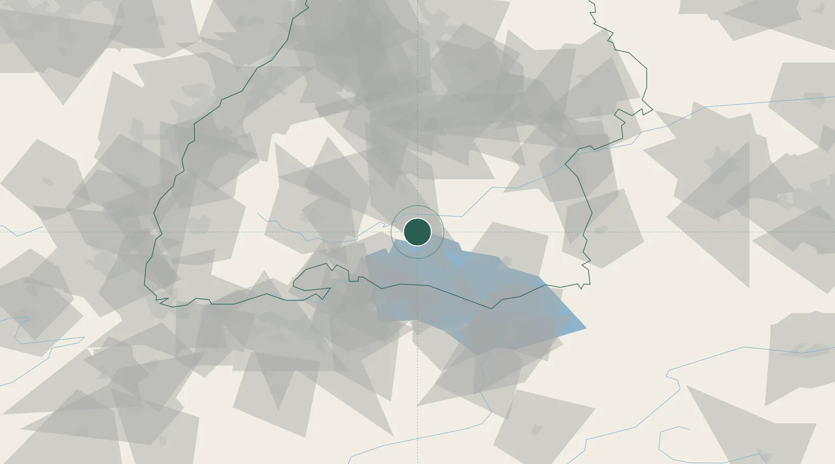
Populated place
Region
Baden-Wurttemberg
Population
8,736
Time zone
Europe/Berlin
Elevation
603 m
Location
Nearby Logistics Neighbours
Cities
- 1Neuwilen4 km
- 2Sauldorf4 km
- 3Sigmaringendorf15 km
- 4Schwenningen16 km
- 5Stockach17 km
Ports
- 1Porto Di Lido-Venezia381 km
- 2Porto Di Chioggia391 km
- 3Nogaro395 km
- 4Genova399 km
- 5Grado407 km
Airports
Trade Zones
- 1ZFU Neuhof118 km
- 2ZFU Hautepierre125 km
- 3ZFU Mulhouse135 km
- 4ZFU Belfort177 km
- 5Livigno Free Trade Zone178 km
DatabookThe Record of Consolidated Knowledge
Germany beyond logistics?