Transport Functions
Port
Multimodal
Hub Profile
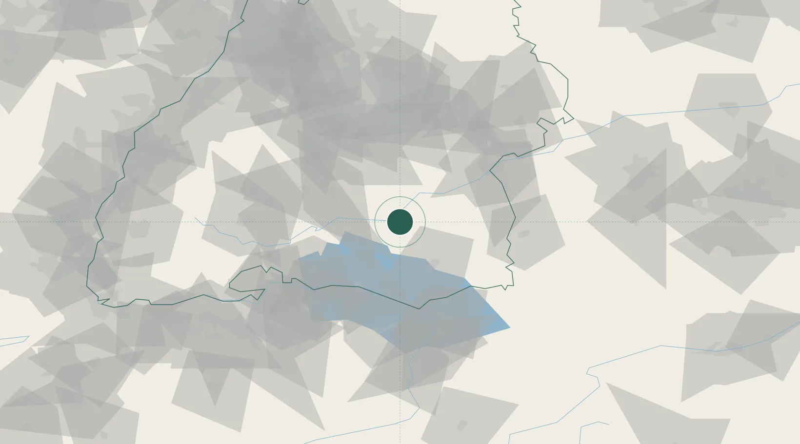
Place type
Local administrative seat
Region
Baden-Wurttemberg
Population
4,856
Time zone
Europe/Berlin
Elevation
546 m
Location
Nearby Logistics Neighbours
Cities
- 1Ertingen5 km
- 2Bad Saulgau7 km
- 3Riedlingen10 km
- 4Langenenslingen11 km
- 5Sigmaringendorf12 km
Ports
- 1Porto Di Lido-Venezia373 km
- 2Nogaro382 km
- 3Porto Di Chioggia384 km
- 4Grado395 km
- 5Monfalcone403 km
Airports
Trade Zones
- 1ZFU Neuhof134 km
- 2ZFU Hautepierre142 km
- 3ZFU Mulhouse160 km
- 4Livigno Free Trade Zone178 km
- 5ZFU Belfort202 km
DatabookThe Record of Consolidated Knowledge
Germany beyond logistics?