Transport Functions
Multimodal
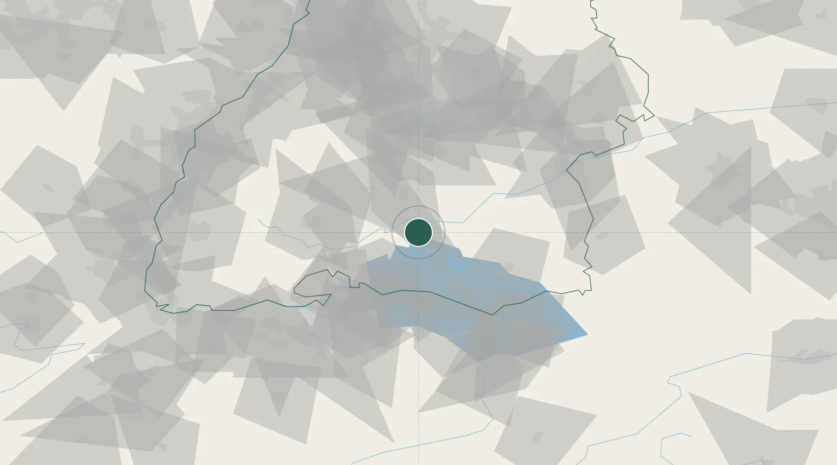
Hub Profile
Place type
Populated place
Region
Thurgau
Time zone
Europe/Zurich
Elevation
547 m
Location
Nearby Logistics Neighbours
Cities
- 1Messkirch4 km
- 2Sauldorf8 km
- 3Sigmaringendorf13 km
- 4Schwenningen13 km
- 5Denkingen20 km
Ports
- 1Porto Di Lido-Venezia384 km
- 2Porto Di Chioggia394 km
- 3Nogaro397 km
- 4Genova403 km
- 5Grado409 km
Airports
Trade Zones
- 1ZFU Neuhof116 km
- 2ZFU Hautepierre123 km
- 3ZFU Mulhouse136 km
- 4ZFU Belfort177 km
- 5Livigno Free Trade Zone181 km
DatabookThe Record of Consolidated Knowledge
Switzerland beyond logistics?