Transport Functions
Multimodal
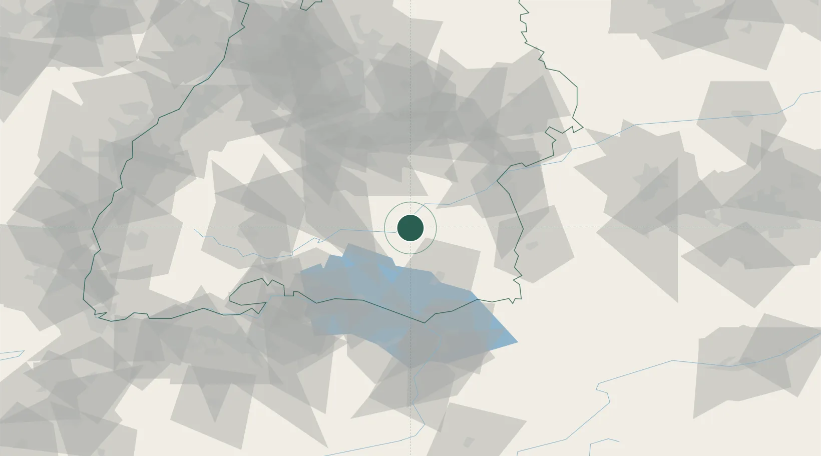
Hub Profile
Place type
Local administrative seat
Region
Baden-Wurttemberg
Population
5,516
Time zone
Europe/Berlin
Elevation
572 m
Location
Nearby Logistics Neighbours
Cities
- 1Herbertingen5 km
- 2Riedlingen6 km
- 3Langenenslingen9 km
- 4Bad Saulgau9 km
- 5Uttenweiler12 km
Ports
- 1Porto Di Lido-Venezia374 km
- 2Nogaro383 km
- 3Porto Di Chioggia385 km
- 4Grado395 km
- 5Monfalcone403 km
Airports
Trade Zones
- 1ZFU Neuhof135 km
- 2ZFU Hautepierre142 km
- 3ZFU Mulhouse163 km
- 4Livigno Free Trade Zone181 km
- 5ZFU Belfort205 km
DatabookThe Record of Consolidated Knowledge
Germany beyond logistics?