Transport Functions
Multimodal
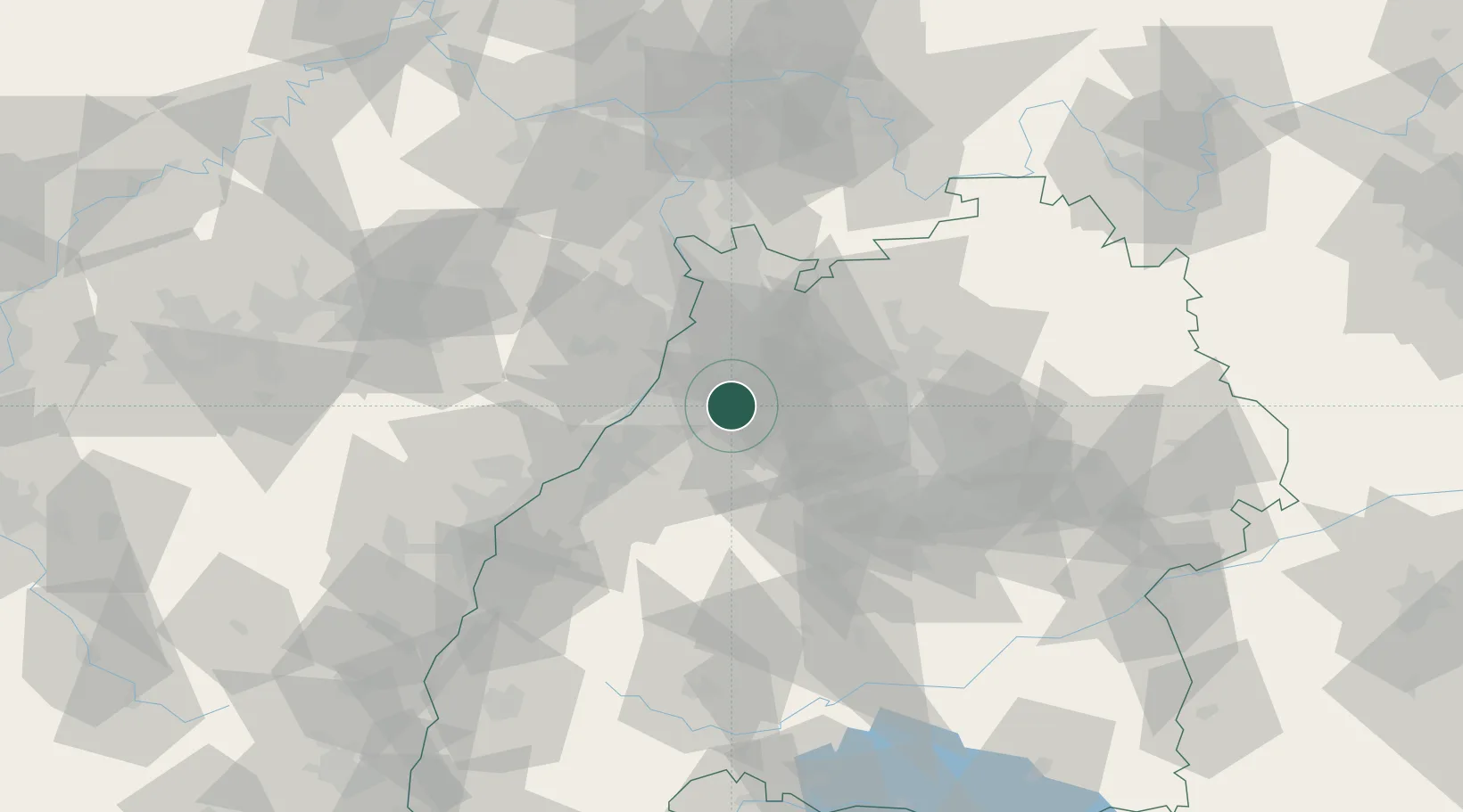
Hub Profile
Region
BW
Location
Nearby Logistics Neighbours
Cities
- 1Königsbach-Stein6 km
- 2Remchingen8 km
- 3Ludwigswinkel9 km
- 4Kaempfelbach11 km
- 5Ispringen12 km
Airports
- 1Karlsruhe Baden-Baden Airport46 km
- 2Mannheim-City Airport51 km
- 3Stuttgart Airport58 km
- 4Ramstein Air Base86 km
- 5Adolf Würth Airport87 km
Trade Zones
- 1ZFU Neuhof81 km
- 2ZFU Hautepierre81 km
- 3ZFU La Cité Behren-lès-Forbach123 km
- 4ZFU Mulhouse169 km
- 5ZFU Metz178 km
DatabookThe Record of Consolidated Knowledge
Germany beyond logistics?