Transport Functions
Multimodal
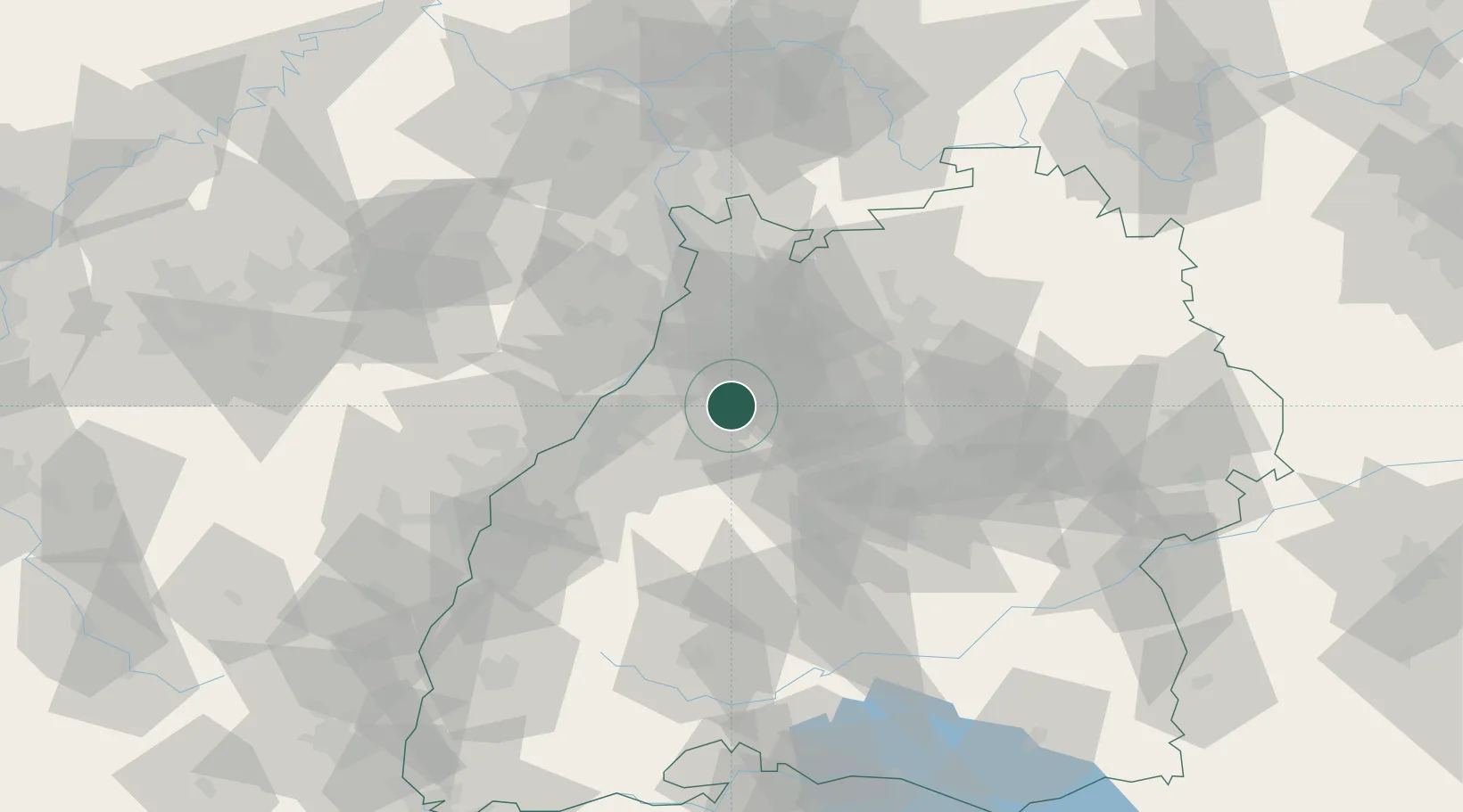
Hub Profile
Region
BW
Location
Nearby Logistics Neighbours
Cities
- 1Keltern3 km
- 2Ispringen4 km
- 3Remchingen5 km
- 4Niebelsbach5 km
- 5Königsbach-Stein6 km
Airports
- 1Karlsruhe Baden-Baden Airport42 km
- 2Stuttgart Airport51 km
- 3Mannheim-City Airport62 km
- 4Strasbourg Airport84 km
- 5Lahr Airport84 km
Trade Zones
- 1ZFU Neuhof75 km
- 2ZFU Hautepierre77 km
- 3ZFU La Cité Behren-lès-Forbach126 km
- 4ZFU Mulhouse161 km
- 5ZFU Metz180 km
DatabookThe Record of Consolidated Knowledge
Germany beyond logistics?