Transport Functions
Rail
Road
Hub Profile
Place type
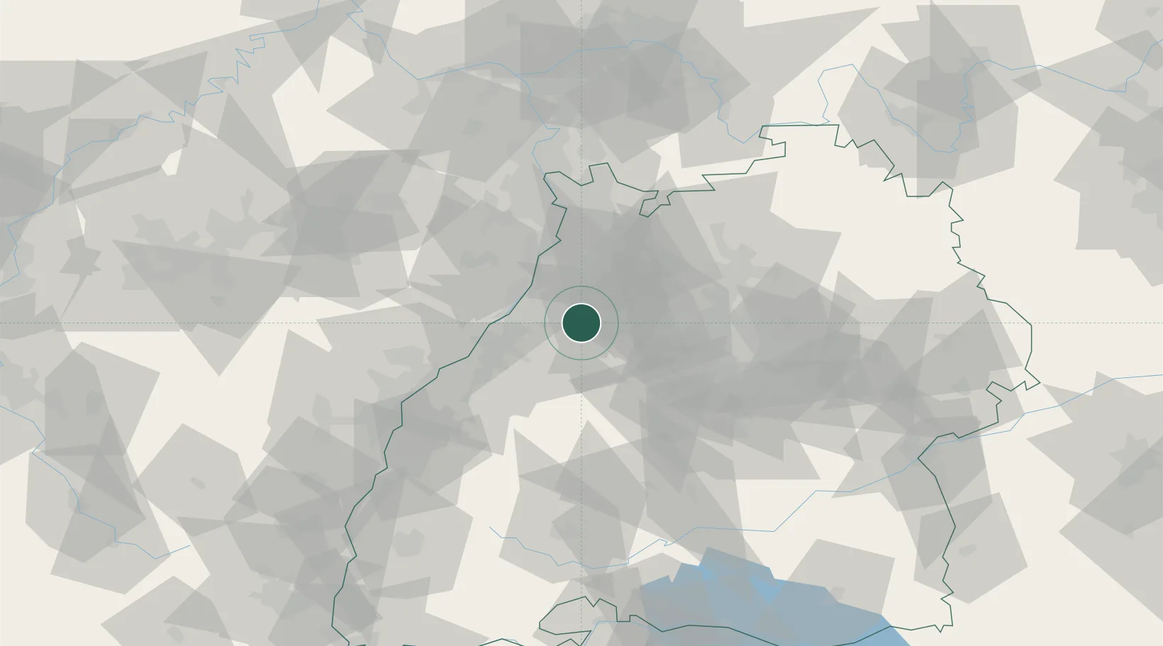
Populated place
Region
Baden-Wurttemberg
Time zone
Europe/Berlin
Elevation
162 m
Location
Nearby Logistics Neighbours
Cities
- 1Königsbach-Stein4 km
- 2Kaempfelbach5 km
- 3Keltern6 km
- 4Karlsbad6 km
- 5Waldbronn7 km
Airports
- 1Karlsruhe Baden-Baden Airport40 km
- 2Stuttgart Airport56 km
- 3Mannheim-City Airport58 km
- 4Strasbourg Airport83 km
- 5Lahr Airport84 km
Trade Zones
- 1ZFU Neuhof75 km
- 2ZFU Hautepierre75 km
- 3ZFU La Cité Behren-lès-Forbach122 km
- 4ZFU Mulhouse162 km
- 5ZFU Metz176 km
DatabookThe Record of Consolidated Knowledge
Germany beyond logistics?