Transport Functions
Rail
Road
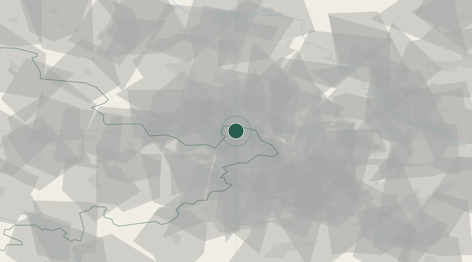
Hub Profile
Place type
Populated place
Region
Thuringia
Population
2,978
Time zone
Europe/Berlin
Elevation
186 m
Location
Nearby Logistics Neighbours
Airports
- 1Leipzig–Altenburg Airport13 km
- 2Leipzig/Halle Airport42 km
- 3Hof-Plauen Airport92 km
- 4Erfurt-Weimar Airport98 km
- 5Holzdorf Air Base98 km
Trade Zones
DatabookThe Record of Consolidated Knowledge
Germany beyond logistics?