UN/LOCODE hub · Germany
DELTD

Lobstädt

51.1333°, 12.4500°
3
Transport functions

Transport Functions

Rail
Road
Multimodal
UN/LOCODE

Hub Profile

Region
SN
GeoNames

Location

Location of DELTD
Natural Earth 10m (public domain) · SN · DELTD · 51.13, 12.45GoogleOSMYandex

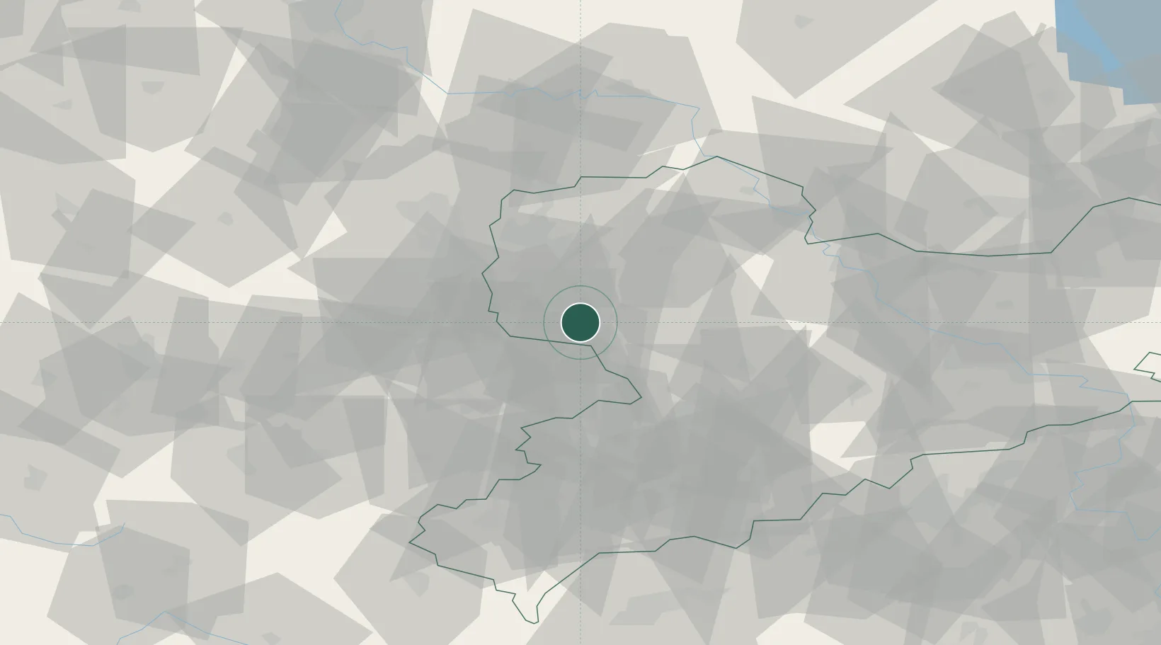
Nearby Logistics Neighbours

Cities
  1. 1Neukieritzsch4 km
  2. 2Borna4 km
  3. 3Espenhain6 km
  4. 4Rötha8 km
  5. 5Böhlen9 km
Nearest neighbours — logibook spatial index (haversine) over the source coordinates
Ports
  1. 1Szczecin291 km
  2. 2Police306 km
  3. 3Wismar315 km
  4. 4Hamburg319 km
  5. 5Lubeck328 km
Nearest neighbours — logibook spatial index (haversine) over the source coordinates
Airports
  1. 1Leipzig–Altenburg Airport17 km
  2. 2Leipzig/Halle Airport35 km
  3. 3Holzdorf Air Base86 km
  4. 4Dresden Airport92 km
  5. 5Zerbst Airfield99 km
Nearest neighbours — logibook spatial index (haversine) over the source coordinates
Trade Zones
  1. 1Most - Joseph Industrial Zone111 km
  2. 2Žatec - Triangle Strategic Industrial Zone112 km
  3. 3Podbořany Industrial Zone121 km
  4. 4Kostrzyń-Słubice SEZ222 km
  5. 5Kolín - Ovčáry Industrial Zone229 km
Nearest neighbours — logibook spatial index (haversine) over the source coordinates
DatabookThe Record of Consolidated Knowledge
Germany beyond logistics?
Browse databook

All Sources

LocationsUN/LOCODE
UN/LOCODE — free
Portsthe NGA World Port Index
Public domain (US gov)
AirportsOurAirports
Public domain
Trade Zonesthe World Bank SEZ database
CC BY 4.0
Trade ZonesOpen Zone Map
CC BY
← Germany locations