Transport Functions
Rail
Road
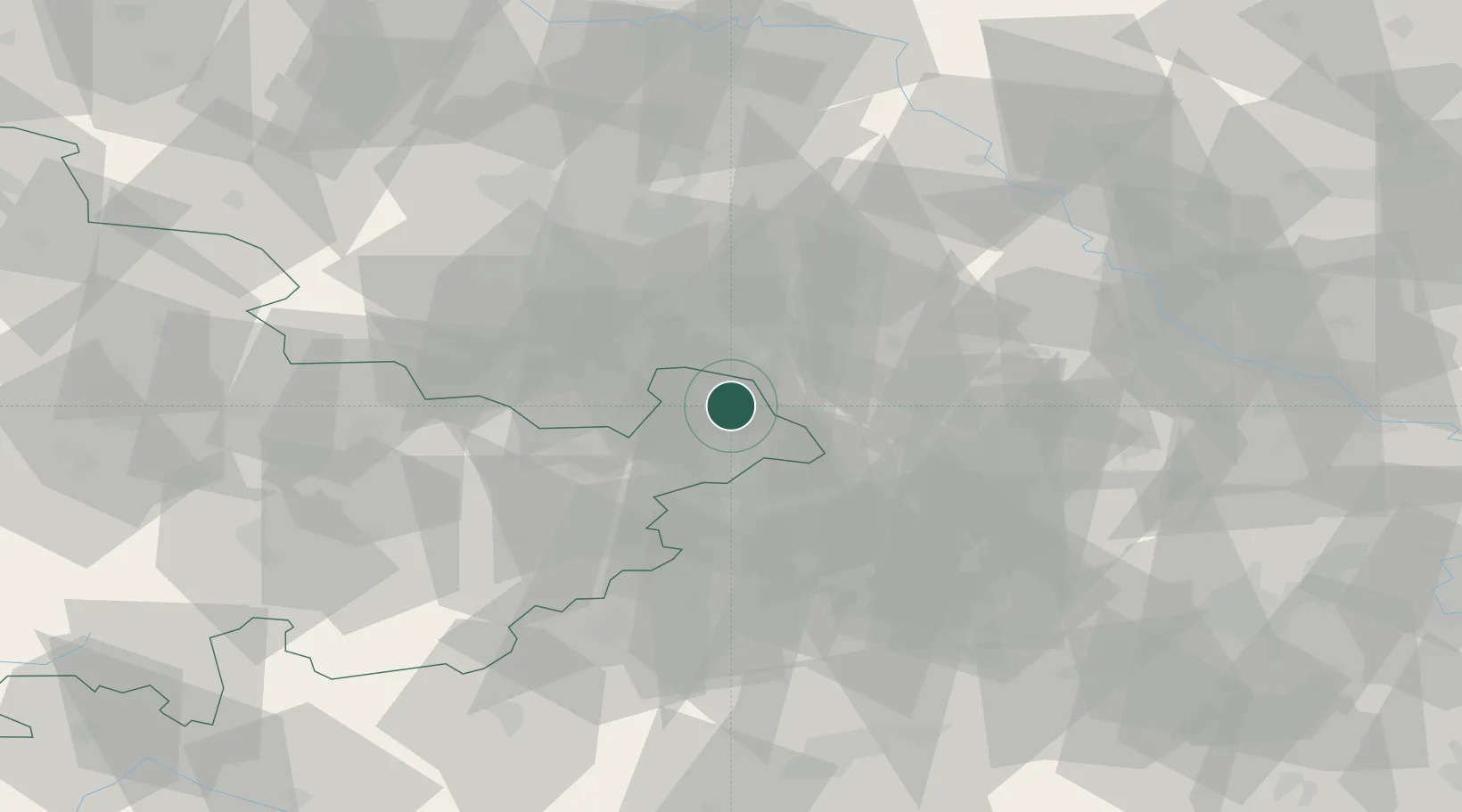
Hub Profile
Place type
District seat
Region
Thuringia
Population
38,568
Time zone
Europe/Berlin
Elevation
193 m
Location
Nearby Logistics Neighbours
Cities
- 1Rositz6 km
- 2Wintersdorf8 km
- 3Kohren-Sahlis11 km
- 4Schmölln12 km
- 5Gössnitz13 km
Airports
- 1Leipzig–Altenburg Airport6 km
- 2Leipzig/Halle Airport49 km
- 3Hof-Plauen Airport89 km
- 4Dresden Airport94 km
- 5Karlovy Vary Airport95 km
Trade Zones
DatabookThe Record of Consolidated Knowledge
Germany beyond logistics?