Transport Functions
Rail
Road
Hub Profile
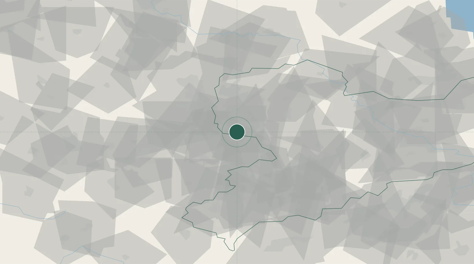
Place type
Populated place
Region
Thuringia
Population
4,526
Time zone
Europe/Berlin
Elevation
153 m
Location
Nearby Logistics Neighbours
Cities
- 1Wintersdorf6 km
- 2Rositz8 km
- 3Lobstädt9 km
- 4Neukieritzsch10 km
- 5Göbitz11 km
Airports
- 1Leipzig–Altenburg Airport18 km
- 2Leipzig/Halle Airport36 km
- 3Holzdorf Air Base94 km
- 4Hof-Plauen Airport96 km
- 5Erfurt-Weimar Airport97 km
Trade Zones
DatabookThe Record of Consolidated Knowledge
Germany beyond logistics?