Transport Functions
Rail
Road
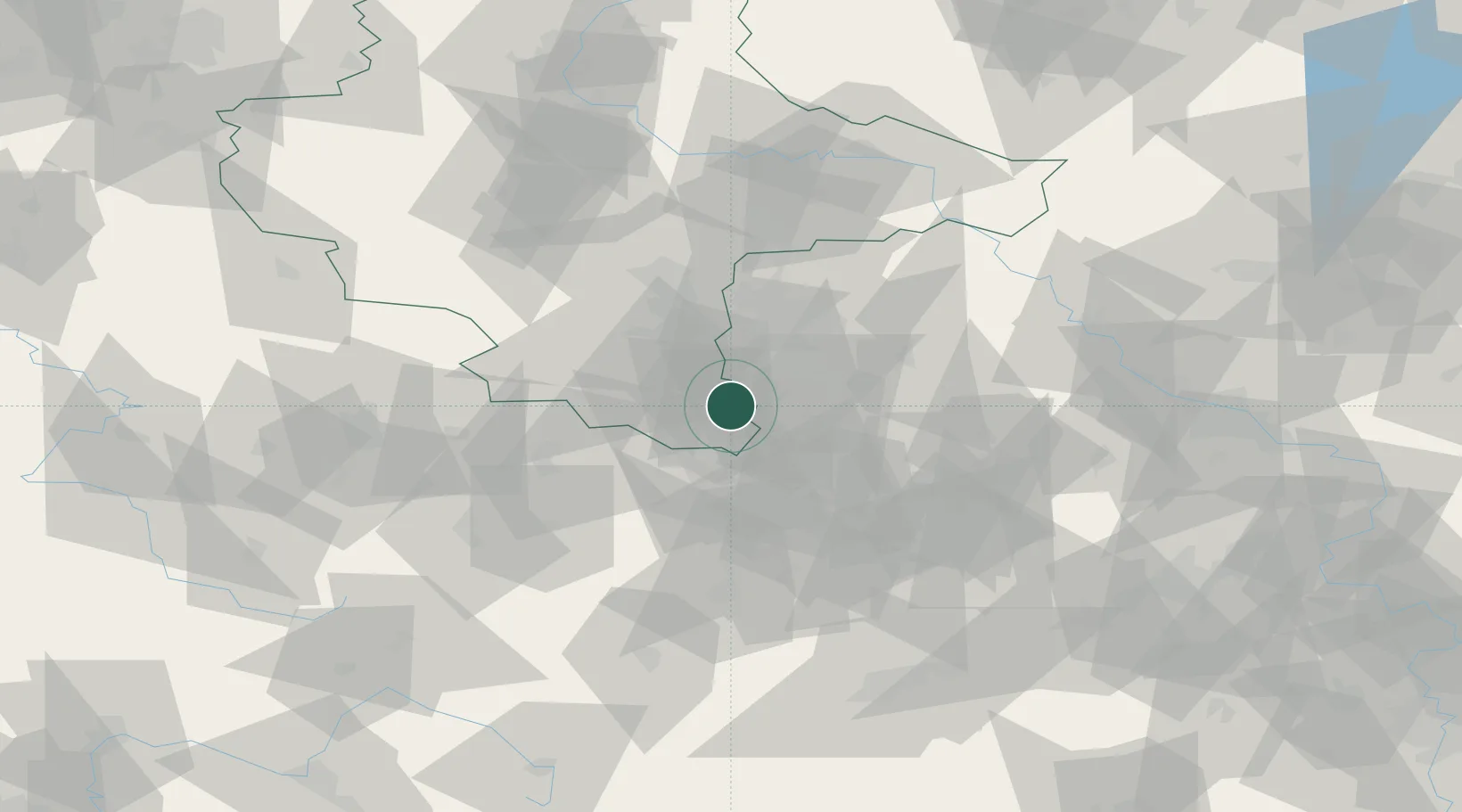
Hub Profile
Region
ST
Location
Nearby Logistics Neighbours
Cities
- 1Näthern6 km
- 2Deuben9 km
- 3Lucka11 km
- 4Teuchern12 km
- 5Wintersdorf12 km
Airports
- 1Leipzig–Altenburg Airport25 km
- 2Leipzig/Halle Airport38 km
- 3Erfurt-Weimar Airport86 km
- 4Hof-Plauen Airport91 km
- 5Zerbst Airfield102 km
Trade Zones
DatabookThe Record of Consolidated Knowledge
Germany beyond logistics?