Transport Functions
Rail
Road
Hub Profile
Place type
Local administrative seat
Region
Thuringia
Population
3,232
Time zone
Europe/Berlin
Elevation
193 m
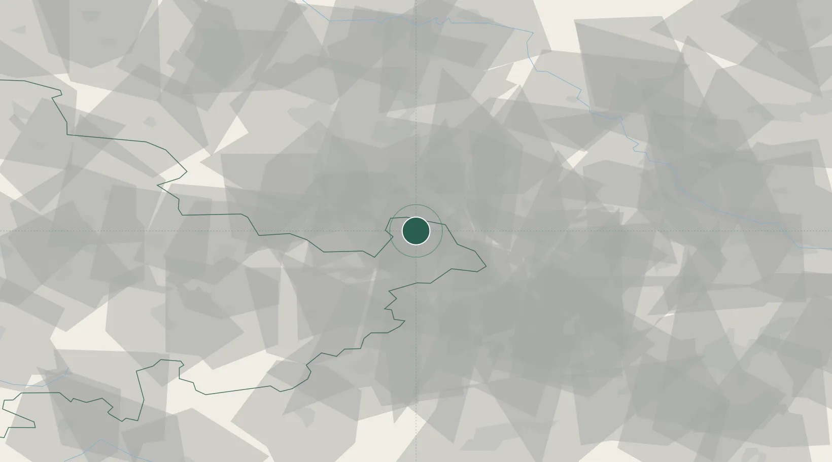
Location
Nearby Logistics Neighbours
Cities
- 1Wintersdorf2 km
- 2Altenburg6 km
- 3Lucka8 km
- 4Lobstädt13 km
- 5Borna13 km
Airports
- 1Leipzig–Altenburg Airport11 km
- 2Leipzig/Halle Airport44 km
- 3Hof-Plauen Airport90 km
- 4Dresden Airport99 km
- 5Erfurt-Weimar Airport99 km
Trade Zones
DatabookThe Record of Consolidated Knowledge
Germany beyond logistics?