Transport Functions
Rail
Road
Hub Profile
Region
NW
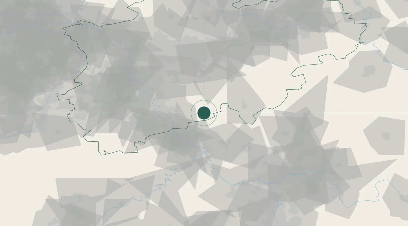
Location
Nearby Logistics Neighbours
Cities
- 1Rosbach5 km
- 2Pracht8 km
- 3Roth12 km
- 4Rettersen14 km
- 5Almersbach16 km
Airports
- 1Cologne Bonn Airport30 km
- 2Siegerland Airport38 km
- 3Nörvenich Air Base64 km
- 4Düsseldorf Airport77 km
- 5Dortmund Airport78 km
Trade Zones
- 1Rheinische Revier SWZ84 km
- 2Freeport of Duisburg98 km
- 3Luxembourg Free Port162 km
- 4ZFU La Cité Behren-lès-Forbach189 km
- 5ZFU Woippy-Metz211 km
DatabookThe Record of Consolidated Knowledge
Germany beyond logistics?