Transport Functions
Rail
Road
Hub Profile
Place type
Populated place
Region
North Rhine-Westphalia
Time zone
Europe/Berlin
Elevation
154 m
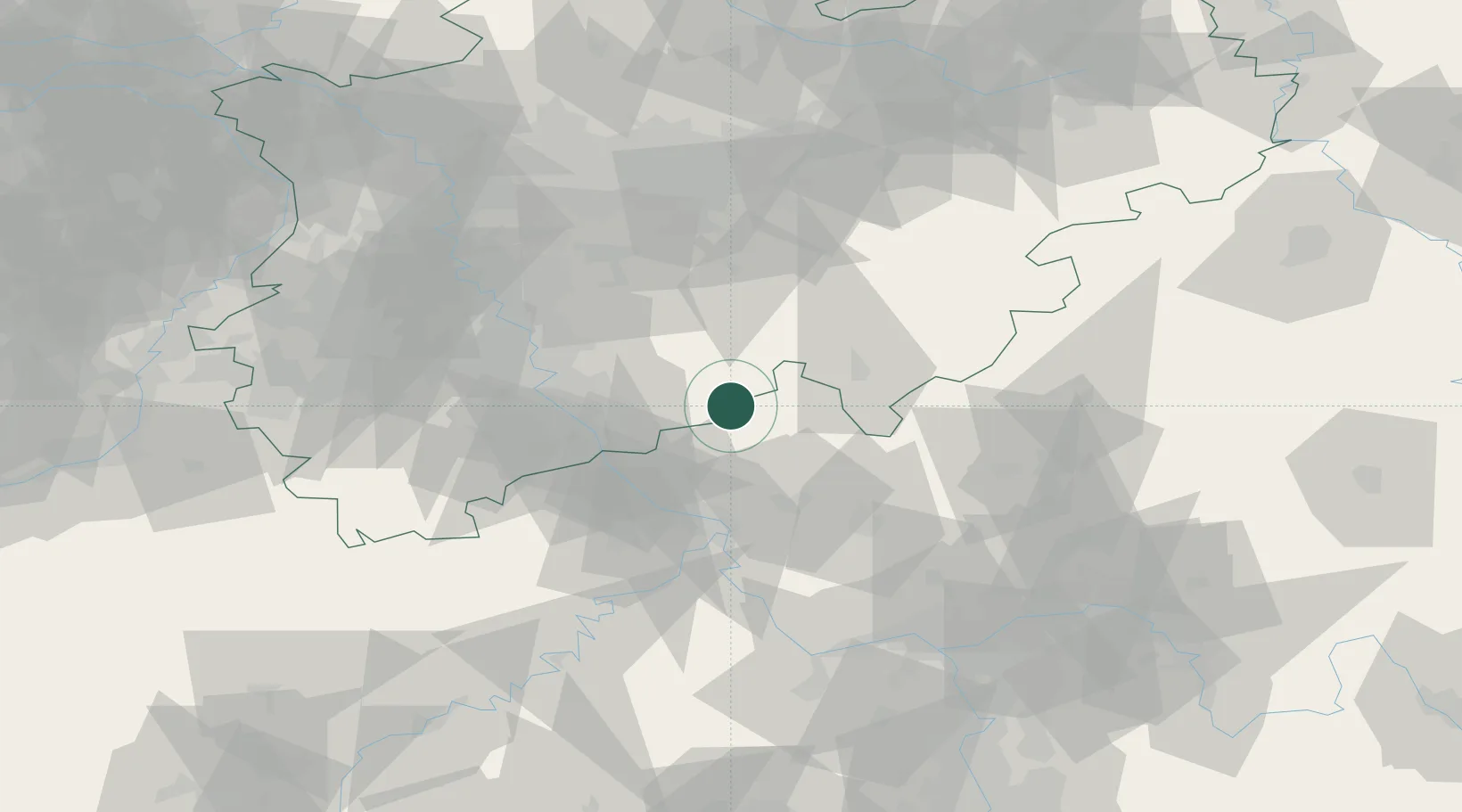
Location
Nearby Logistics Neighbours
Cities
- 1Pracht3 km
- 2Windeck5 km
- 3Roth7 km
- 4Almersbach11 km
- 5Kroppach12 km
Airports
- 1Siegerland Airport34 km
- 2Cologne Bonn Airport35 km
- 3Nörvenich Air Base68 km
- 4Büchel Air Base78 km
- 5Dortmund Airport82 km
Trade Zones
- 1Rheinische Revier SWZ88 km
- 2Freeport of Duisburg103 km
- 3Luxembourg Free Port161 km
- 4ZFU La Cité Behren-lès-Forbach186 km
- 5ZFU Woippy-Metz210 km
DatabookThe Record of Consolidated Knowledge
Germany beyond logistics?