UN/LOCODE hub · Germany
DERTS

Rettersen

50.7000°, 7.5000°
330
Population
2
Transport functions

Transport Functions

Road
Multimodal
UN/LOCODE

Hub Profile

Place type
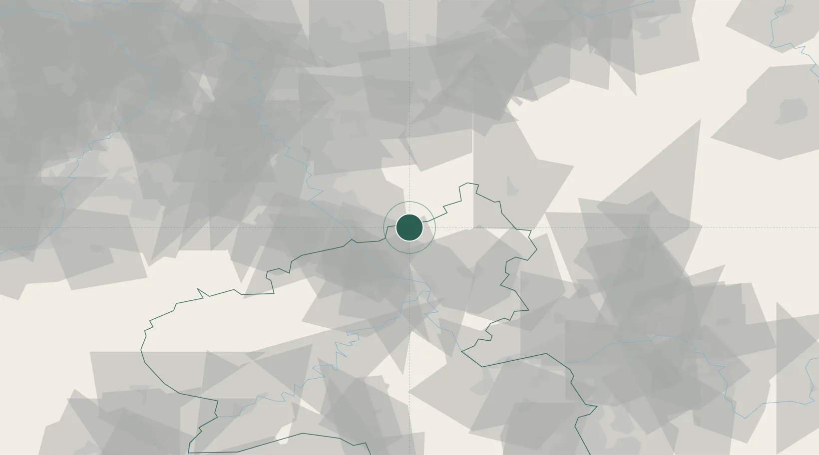
Local administrative seat
GeoNames
Region
Rheinland-Pfalz
GeoNames
Population
330
GeoNames
Time zone
Europe/Berlin
GeoNames
Elevation
293 m
GeoNames

Location

Location of DERTS
Natural Earth 10m (public domain) · Rheinland-Pfalz · DERTS · 50.70, 7.50GoogleOSMYandex

Nearby Logistics Neighbours

Cities
  1. 1Peterslahr9 km
  2. 2Almersbach10 km
  3. 3Sassenberg11 km
  4. 4Güllesheim11 km
  5. 5Rosbach12 km
Nearest neighbours — logibook spatial index (haversine) over the source coordinates
Ports
  1. 1Bruxelles222 km
  2. 2Antwerpen225 km
  3. 3Dordrecht234 km
  4. 4Rotterdam249 km
  5. 5Schiedam254 km
Nearest neighbours — logibook spatial index (haversine) over the source coordinates
Airports
  1. 1Cologne Bonn Airport31 km
  2. 2Siegerland Airport41 km
  3. 3Nörvenich Air Base61 km
  4. 4Büchel Air Base66 km
  5. 5Düsseldorf Airport83 km
Nearest neighbours — logibook spatial index (haversine) over the source coordinates
Trade Zones
  1. 1Rheinische Revier SWZ82 km
  2. 2Freeport of Duisburg105 km
  3. 3Luxembourg Free Port149 km
  4. 4ZFU La Cité Behren-lès-Forbach175 km
  5. 5ZFU Woippy-Metz198 km
Nearest neighbours — logibook spatial index (haversine) over the source coordinates
DatabookThe Record of Consolidated Knowledge
Germany beyond logistics?
Browse databook

All Sources

LocationsUN/LOCODE
UN/LOCODE — free
LocationsGeoNames
CC BY 4.0
Portsthe NGA World Port Index
Public domain (US gov)
AirportsOurAirports
Public domain
Trade Zonesthe World Bank SEZ database
CC BY 4.0
Trade ZonesOpen Zone Map
CC BY
← Germany locations