Transport Functions
Multimodal
Hub Profile
Place type
Local administrative seat
Region
Thuringia
Population
1,114
Time zone
Europe/Berlin
Elevation
343 m
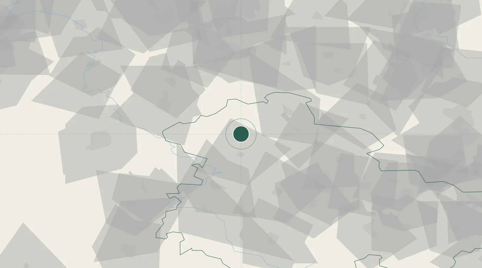
Location
Nearby Logistics Neighbours
Cities
- 1Niederorschel3 km
- 2Menteroda8 km
- 3Dingelstädt12 km
- 4Mühlhausen15 km
- 5Wipperdorf18 km
Airports
- 1Eisenach-Kindel Airport40 km
- 2Erfurt-Weimar Airport54 km
- 3Kassel Airport75 km
- 4Fritzlar Army Airfield86 km
- 5Braunschweig-Wolfsburg Airport108 km
Trade Zones
DatabookThe Record of Consolidated Knowledge
Germany beyond logistics?