Transport Functions
Rail
Road
Hub Profile
Place type
Local administrative seat
Region
Thuringia
Population
3,453
Time zone
Europe/Berlin
Elevation
278 m
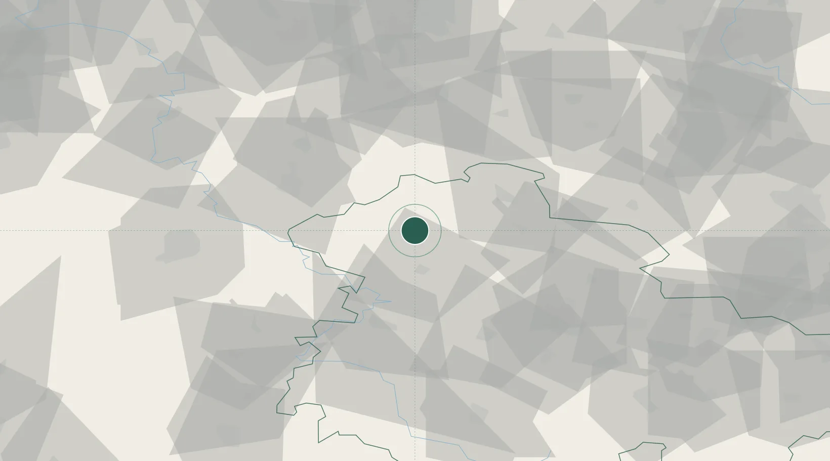
Location
Nearby Logistics Neighbours
Cities
- 1Deuna3 km
- 2Dingelstädt11 km
- 3Menteroda11 km
- 4Mühlhausen17 km
- 5Wipperdorf19 km
Airports
- 1Eisenach-Kindel Airport42 km
- 2Erfurt-Weimar Airport57 km
- 3Kassel Airport73 km
- 4Fritzlar Army Airfield85 km
- 5Braunschweig-Wolfsburg Airport106 km
Trade Zones
DatabookThe Record of Consolidated Knowledge
Germany beyond logistics?