Transport Functions
Road
Multimodal
Hub Profile
Place type
Populated place
Region
Baden-Wurttemberg
Time zone
Europe/Berlin
Elevation
335 m
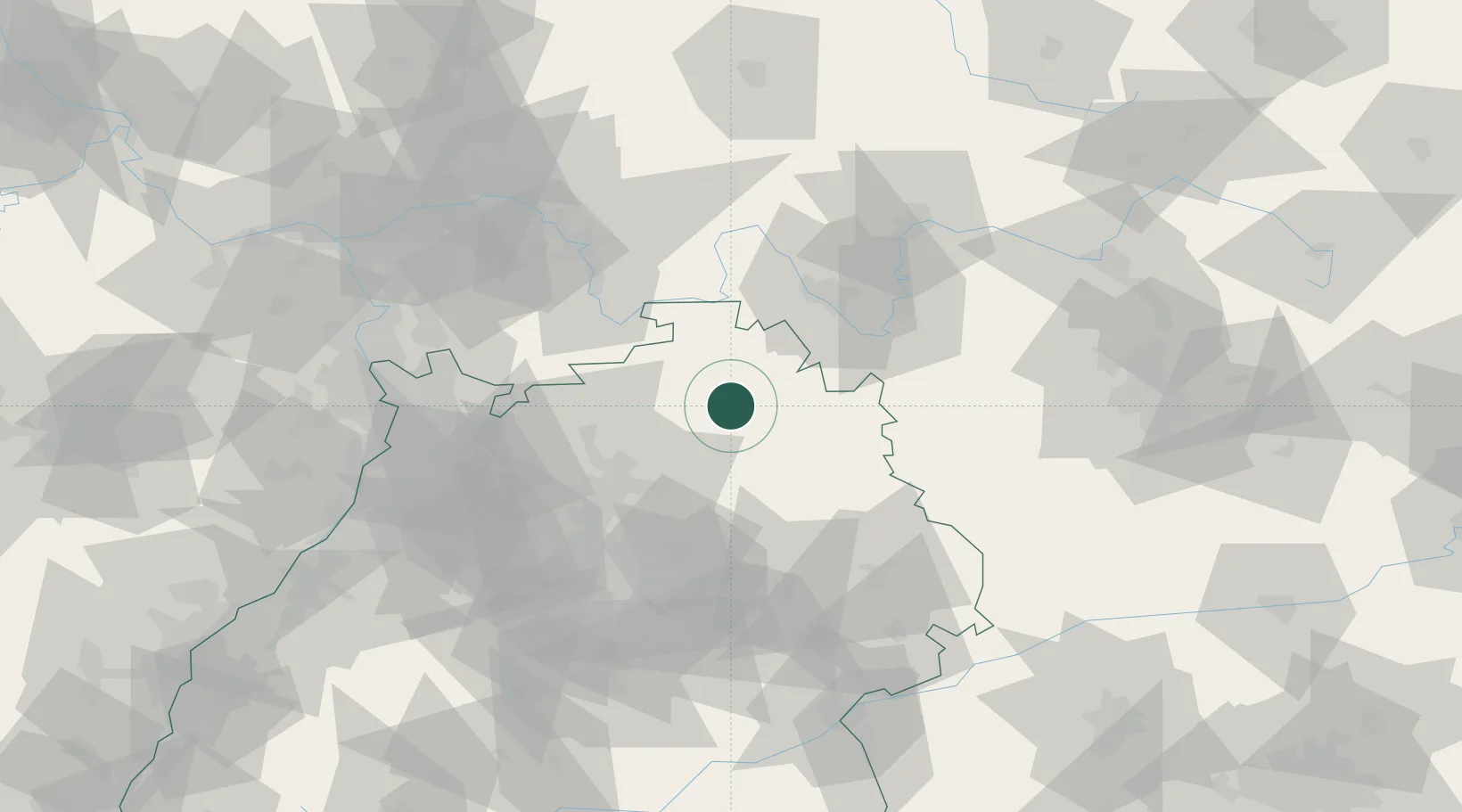
Location
Nearby Logistics Neighbours
Cities
- 1Boxberg6 km
- 2Rosenberg (Baden)11 km
- 3Schöntal14 km
- 4Weissbach (Hohenlohe)15 km
- 5Igersheim16 km
Airports
- 1Niederstetten Army Air Base25 km
- 2Adolf Würth Airport37 km
- 3Mannheim-City Airport80 km
- 4Stuttgart Airport88 km
- 5Frankfurt-Egelsbach Airport91 km
Trade Zones
- 1ZFU Neuhof168 km
- 2ZFU Hautepierre169 km
- 3ZFU La Cité Behren-lès-Forbach197 km
- 4Luxembourg Free Port246 km
- 5ZFU Mulhouse251 km
DatabookThe Record of Consolidated Knowledge
Germany beyond logistics?