Transport Functions
Multimodal
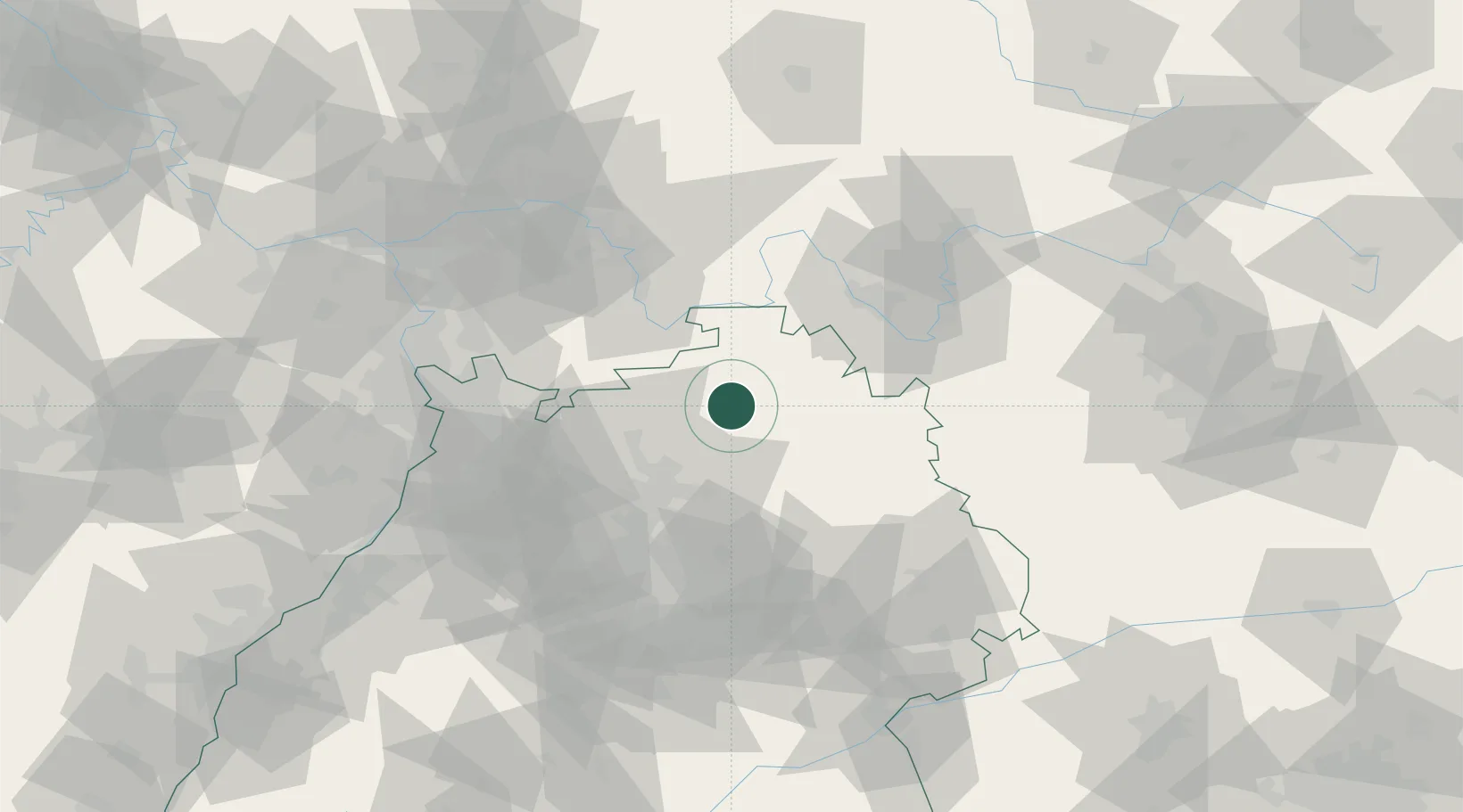
Hub Profile
Region
BW
Location
Nearby Logistics Neighbours
Cities
- 1Seckach10 km
- 2Windischbuch11 km
- 3Sennfeld11 km
- 4Boxberg13 km
- 5Adelsheim13 km
Airports
- 1Niederstetten Army Air Base36 km
- 2Adolf Würth Airport44 km
- 3Mannheim-City Airport69 km
- 4Frankfurt-Egelsbach Airport82 km
- 5Stuttgart Airport86 km
Trade Zones
- 1ZFU Neuhof160 km
- 2ZFU Hautepierre161 km
- 3ZFU La Cité Behren-lès-Forbach187 km
- 4Luxembourg Free Port235 km
- 5ZFU Metz243 km
DatabookThe Record of Consolidated Knowledge
Germany beyond logistics?