Transport Functions
Port
Rail
Road
Hub Profile
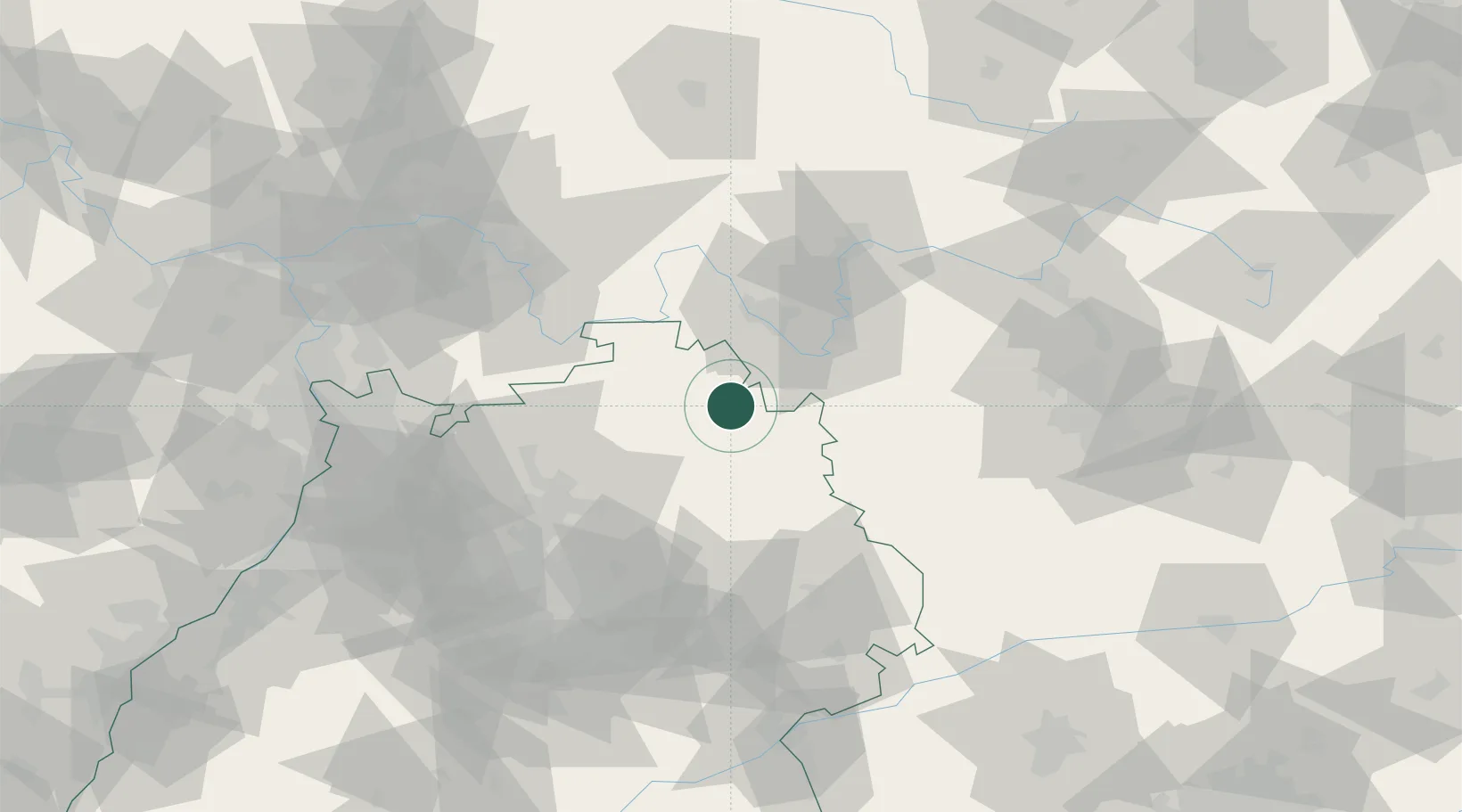
Place type
Local administrative seat
Region
Baden-Wurttemberg
Population
5,700
Time zone
Europe/Berlin
Elevation
220 m
Location
Nearby Logistics Neighbours
Cities
- 1Weikersheim6 km
- 2Grünsfeld12 km
- 3Niederstetten13 km
- 4Boxberg13 km
- 5Windischbuch16 km
Airports
- 1Niederstetten Army Air Base16 km
- 2Adolf Würth Airport43 km
- 3Nuremberg Airport91 km
- 4Bamberg-Breitenau Airfield92 km
- 5Mannheim-City Airport94 km
Trade Zones
- 1ZFU Neuhof184 km
- 2ZFU Hautepierre185 km
- 3ZFU La Cité Behren-lès-Forbach213 km
- 4Luxembourg Free Port260 km
- 5ZFU Mulhouse267 km
DatabookThe Record of Consolidated Knowledge
Germany beyond logistics?