Transport Functions
Port
Road
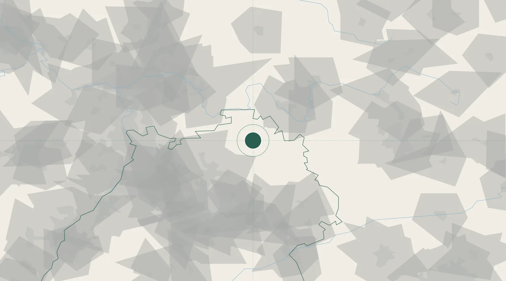
Hub Profile
Place type
Populated place
Region
Baden-Wurttemberg
Population
7,209
Time zone
Europe/Berlin
Elevation
272 m
Location
Nearby Logistics Neighbours
Cities
- 1Windischbuch6 km
- 2Rosenberg (Baden)13 km
- 3Igersheim13 km
- 4Grünsfeld16 km
- 5Weikersheim19 km
Airports
- 1Niederstetten Army Air Base26 km
- 2Adolf Würth Airport42 km
- 3Mannheim-City Airport81 km
- 4Frankfurt-Egelsbach Airport89 km
- 5Stuttgart Airport93 km
Trade Zones
- 1ZFU Neuhof172 km
- 2ZFU Hautepierre173 km
- 3ZFU La Cité Behren-lès-Forbach199 km
- 4Luxembourg Free Port247 km
- 5ZFU Woippy-Metz255 km
DatabookThe Record of Consolidated Knowledge
Germany beyond logistics?