Transport Functions
Multimodal
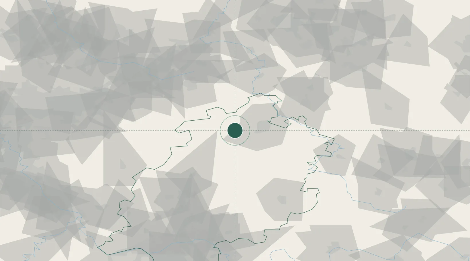
Hub Profile
Place type
Local administrative seat
Region
Hesse
Population
12,437
Time zone
Europe/Berlin
Elevation
133 m
Location
Nearby Logistics Neighbours
Cities
- 1Wolfhagen6 km
- 2Edertal13 km
- 3Gudensberg15 km
- 4Volkmarsen16 km
- 5Bad Arolsen17 km
Airports
- 1Fritzlar Army Airfield18 km
- 2Kassel Airport22 km
- 3Paderborn Lippstadt Airport56 km
- 4Bielefeld Airport90 km
- 5Eisenach-Kindel Airport94 km
Trade Zones
- 1Freeport of Duisburg183 km
- 2Rheinische Revier SWZ201 km
- 3Freeport of Bremerhaven (Freihafen Bremerhaven)205 km
- 4Freeport of Emden268 km
- 5Luxembourg Free Port278 km
DatabookThe Record of Consolidated Knowledge
Germany beyond logistics?