Transport Functions
Multimodal
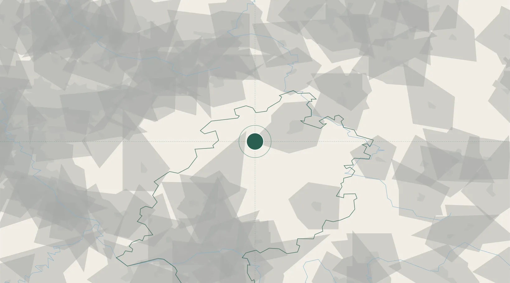
Hub Profile
Place type
Local administrative seat
Region
Hesse
Population
6,223
Time zone
Europe/Berlin
Elevation
226 m
Location
Nearby Logistics Neighbours
Cities
- 1Altenstadt13 km
- 2Bilsington14 km
- 3Wolfhagen17 km
- 4Wabern18 km
- 5Borken18 km
Airports
- 1Fritzlar Army Airfield14 km
- 2Kassel Airport35 km
- 3Paderborn Lippstadt Airport60 km
- 4Siegerland Airport88 km
- 5Bielefeld Airport97 km
Trade Zones
- 1Freeport of Duisburg177 km
- 2Rheinische Revier SWZ192 km
- 3Freeport of Bremerhaven (Freihafen Bremerhaven)215 km
- 4Luxembourg Free Port265 km
- 5ZFU La Cité Behren-lès-Forbach271 km
DatabookThe Record of Consolidated Knowledge
Germany beyond logistics?