Transport Functions
Rail
Road
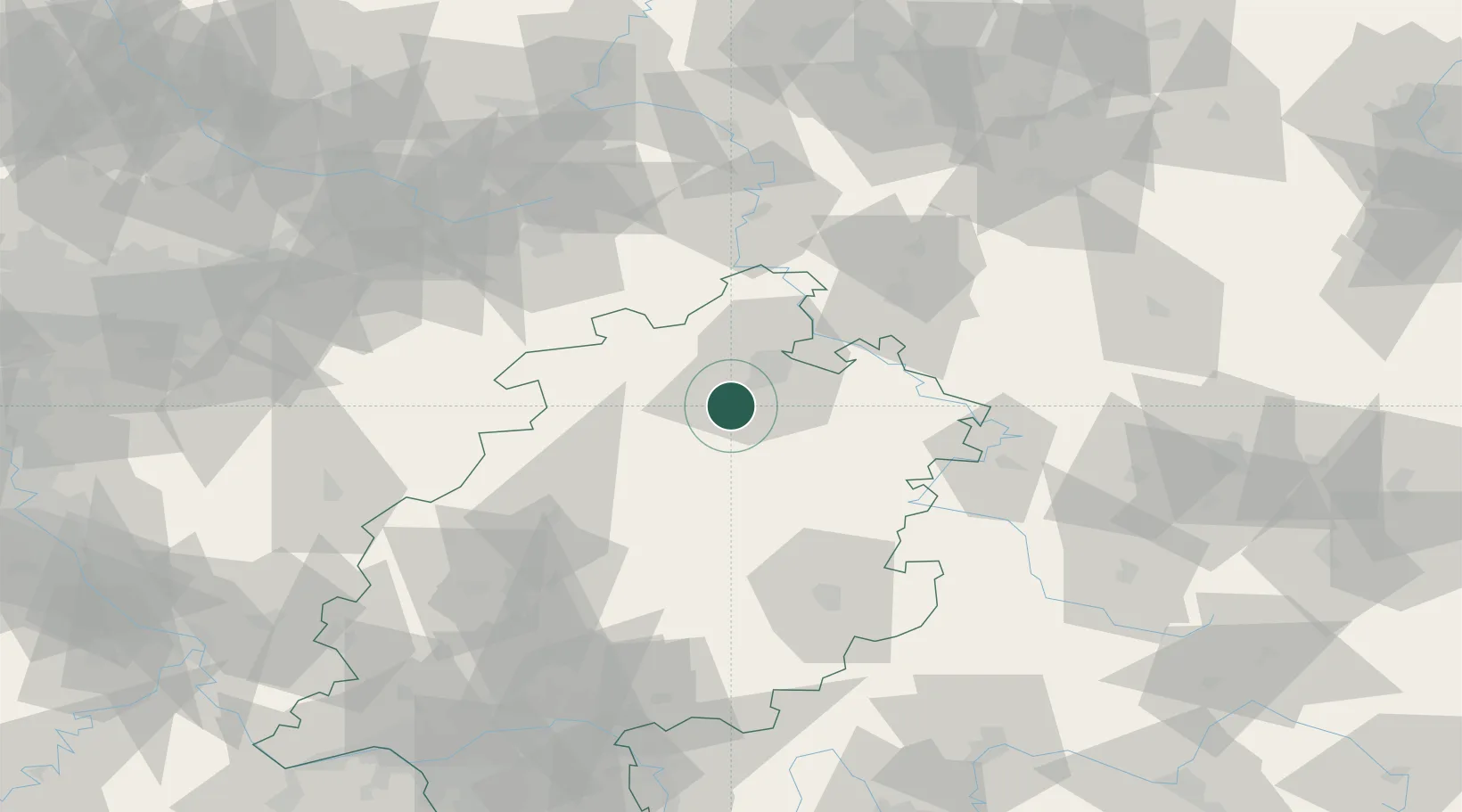
Hub Profile
Place type
Populated place
Region
Hesse
Population
9,032
Time zone
Europe/Berlin
Elevation
246 m
Location
Nearby Logistics Neighbours
Cities
- 1Felsberg7 km
- 2Guxhagen8 km
- 3Wabern10 km
- 4Bilsington12 km
- 5Kassel15 km
Airports
- 1Fritzlar Army Airfield10 km
- 2Kassel Airport26 km
- 3Paderborn Lippstadt Airport71 km
- 4Eisenach-Kindel Airport81 km
- 5Bielefeld Airport104 km
Trade Zones
- 1Freeport of Duisburg195 km
- 2Rheinische Revier SWZ211 km
- 3Freeport of Bremerhaven (Freihafen Bremerhaven)216 km
- 4Luxembourg Free Port281 km
- 5Freeport of Emden281 km
DatabookThe Record of Consolidated Knowledge
Germany beyond logistics?