Transport Functions
Port
Rail
Road
Hub Profile
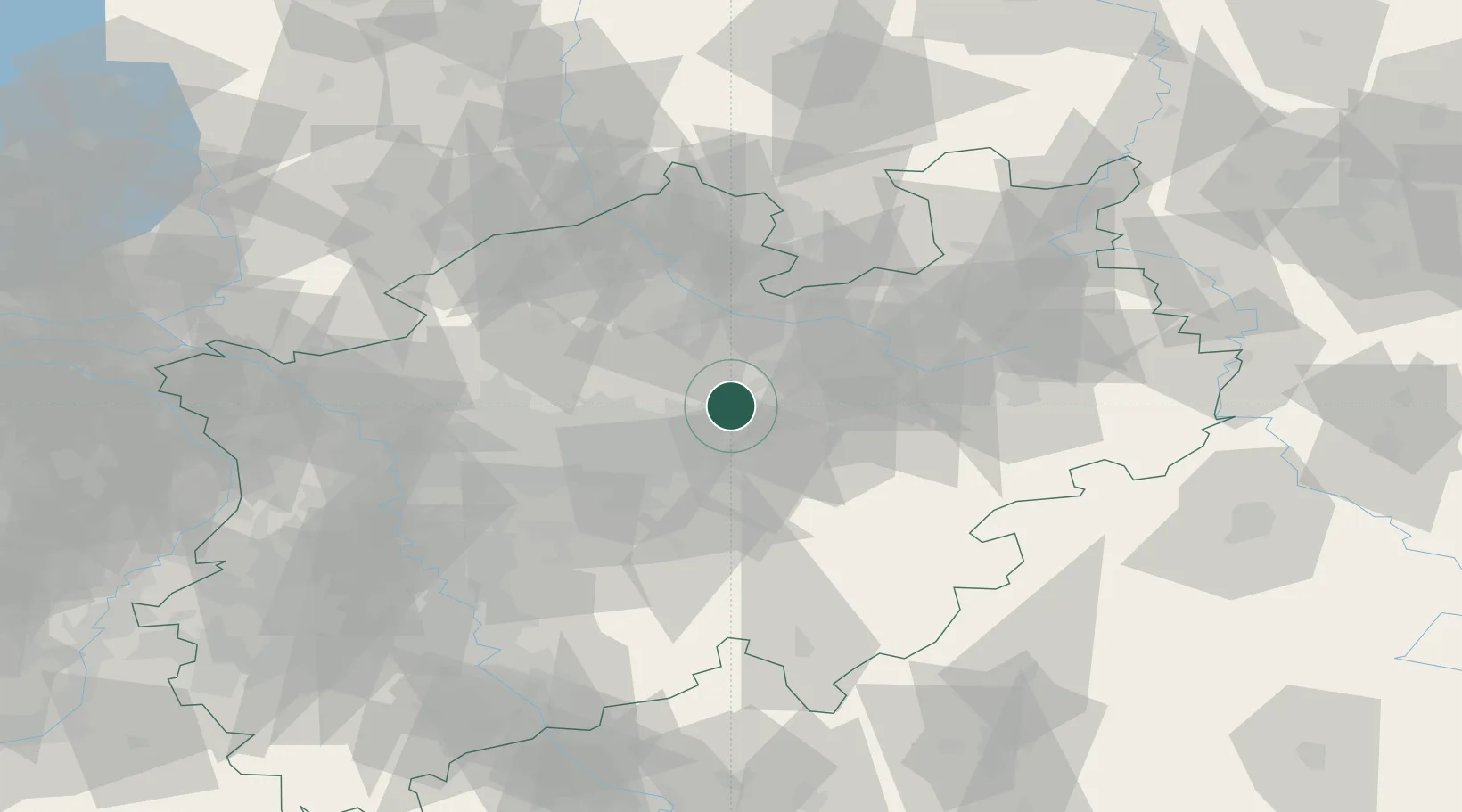
Place type
Populated place
Region
North Rhine-Westphalia
Population
178,967
Time zone
Europe/Berlin
Elevation
66 m
Location
Nearby Logistics Neighbours
Cities
- 1Ahlen11 km
- 2Rünthe12 km
- 3Drensteinfurt14 km
- 4Rosendahl14 km
- 5Werl17 km
Airports
- 1Dortmund Airport23 km
- 2Münster Osnabrück Airport51 km
- 3Paderborn Lippstadt Airport57 km
- 4Bielefeld Airport60 km
- 5Düsseldorf Airport84 km
Trade Zones
DatabookThe Record of Consolidated Knowledge
Germany beyond logistics?