Transport Functions
Multimodal
Hub Profile
Place type
Local administrative seat
Region
North Rhine-Westphalia
Population
11,659
Time zone
Europe/Berlin
Elevation
93 m
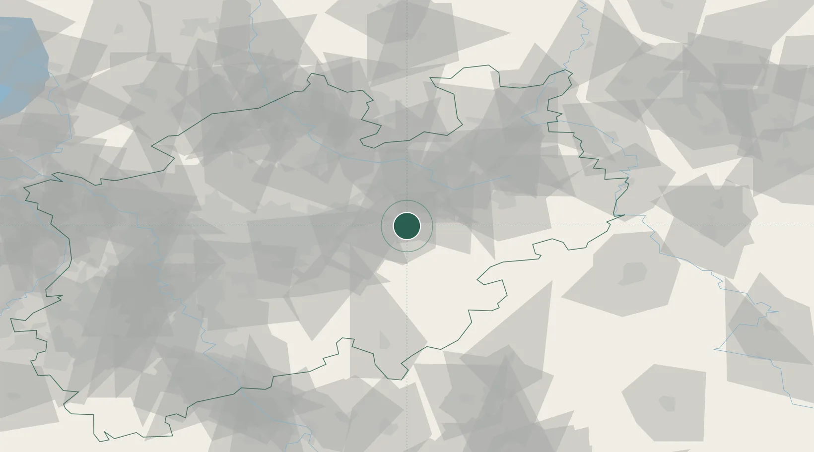
Location
Nearby Logistics Neighbours
Airports
- 1Paderborn Lippstadt Airport31 km
- 2Dortmund Airport39 km
- 3Bielefeld Airport50 km
- 4Münster Osnabrück Airport70 km
- 5Kassel Airport87 km
Trade Zones
DatabookThe Record of Consolidated Knowledge
Germany beyond logistics?