UN/LOCODE hub · Germany
DEWE5

Wester-Ohrstedt

54.5167°, 9.1833°
1,124
Population
2
Transport functions

Transport Functions

Port
Road
UN/LOCODE

Hub Profile

Place type
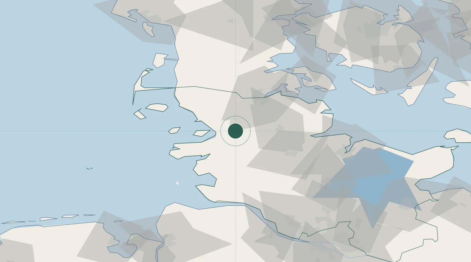
Local administrative seat
GeoNames
Region
Schleswig-Holstein
GeoNames
Population
1,124
GeoNames
Time zone
Europe/Berlin
GeoNames
Elevation
30 m
GeoNames

Location

Location of DEWE5
Natural Earth 10m (public domain) · Schleswig-Holstein · DEWE5 · 54.52, 9.18GoogleOSMYandex

Nearby Logistics Neighbours

Cities
  1. 1Jübek15 km
  2. 2Nordstrand20 km
  3. 3Dannewerk21 km
  4. 4Rehm-Flehde-Bargen26 km
  5. 5Kollund Mole27 km
Nearest neighbours — logibook spatial index (haversine) over the source coordinates
Ports
  1. 1Husum9 km
  2. 2Flensburg35 km
  3. 3Rendsburg40 km
  4. 4Eckernforde42 km
  5. 5Busum47 km
Nearest neighbours — logibook spatial index (haversine) over the source coordinates
Airports
  1. 1Schleswig Air Base22 km
  2. 2Hohn Air Base32 km
  3. 3Heide-Büsum Airport44 km
  4. 4Sønderborg Airport63 km
  5. 5Kiel-Holtenau Airport64 km
Nearest neighbours — logibook spatial index (haversine) over the source coordinates
Trade Zones
  1. 1Freeport of Kiel67 km
  2. 2Freeport of Cuxhaven (Freihafen Cuxhaven)87 km
  3. 3Freeport of Bremerhaven (Freihafen Bremerhaven)161 km
  4. 4Freeport of Emden185 km
  5. 5Freeport of Copenhagen- Nordhavn255 km
Nearest neighbours — logibook spatial index (haversine) over the source coordinates
DatabookThe Record of Consolidated Knowledge
Germany beyond logistics?
Browse databook

All Sources

LocationsUN/LOCODE
UN/LOCODE — free
LocationsGeoNames
CC BY 4.0
Portsthe NGA World Port Index
Public domain (US gov)
AirportsOurAirports
Public domain
Trade Zonesthe World Bank SEZ database
CC BY 4.0
Trade ZonesOpen Zone Map
CC BY
← Germany locations