UN/LOCODE hub · Germany
DERFB
Rehm-Flehde-Bargen
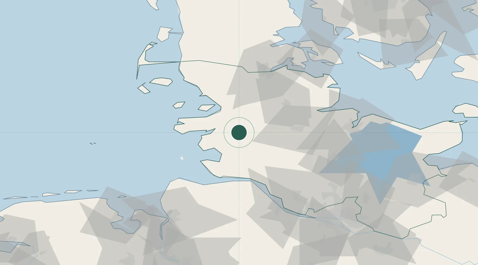
54.2833°, 9.1667°
619
Population
2
Transport functions
Transport Functions
Rail
Road
Hub Profile
Place type
Local administrative seat
Region
Schleswig-Holstein
Population
619
Time zone
Europe/Berlin
Elevation
-1 m
Location
Nearby Logistics Neighbours
Cities
- 1Pahlhude10 km
- 2Heide12 km
- 3Dellstedt15 km
- 4Eiderdeich15 km
- 5Schülper Neuensiel15 km
Ports
- 1Husum24 km
- 2Busum26 km
- 3Rendsburg34 km
- 4Brunsbuttel Elbahafen45 km
- 5Itzehoe47 km
Airports
Trade Zones
DatabookThe Record of Consolidated Knowledge
Germany beyond logistics?