Transport Functions
Multimodal
Hub Profile
Place type
Local administrative seat
Region
Schleswig-Holstein
Population
1,075
Time zone
Europe/Berlin
Elevation
32 m
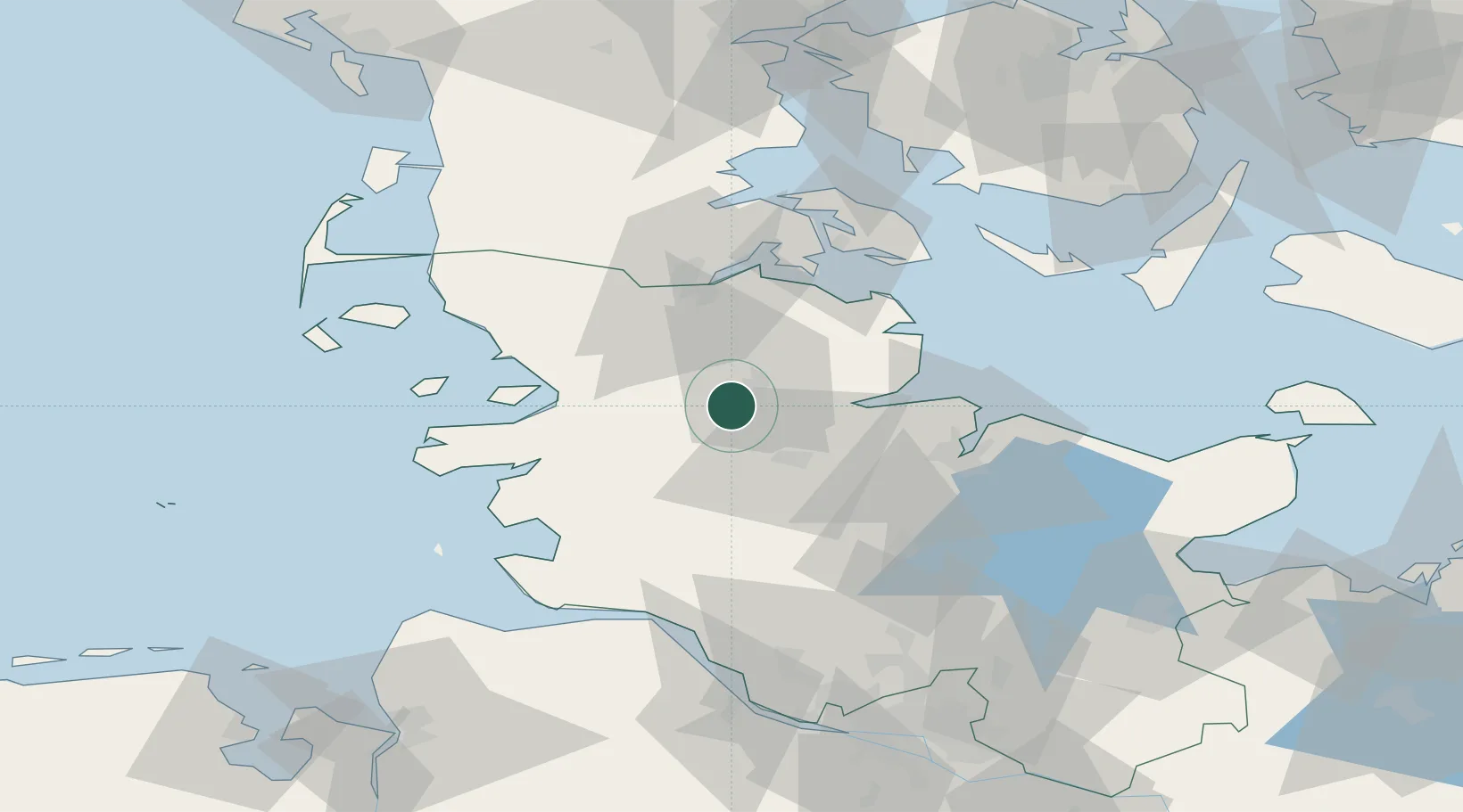
Location
Nearby Logistics Neighbours
Cities
- 1Jübek11 km
- 2Hallig13 km
- 3Ahlefeld-Bistensee13 km
- 4Kollund Mole15 km
- 5Borgstedt20 km
Ports
- 1Eckernforde22 km
- 2Rendsburg22 km
- 3Husum29 km
- 4Kappeln36 km
- 5Flensburg37 km
Airports
- 1Schleswig Air Base1 km
- 2Hohn Air Base17 km
- 3Kiel-Holtenau Airport43 km
- 4Heide-Büsum Airport52 km
- 5Sønderborg Airport58 km
Trade Zones
DatabookThe Record of Consolidated Knowledge
Germany beyond logistics?