Transport Functions
Rail
Road
Hub Profile
Region
SH
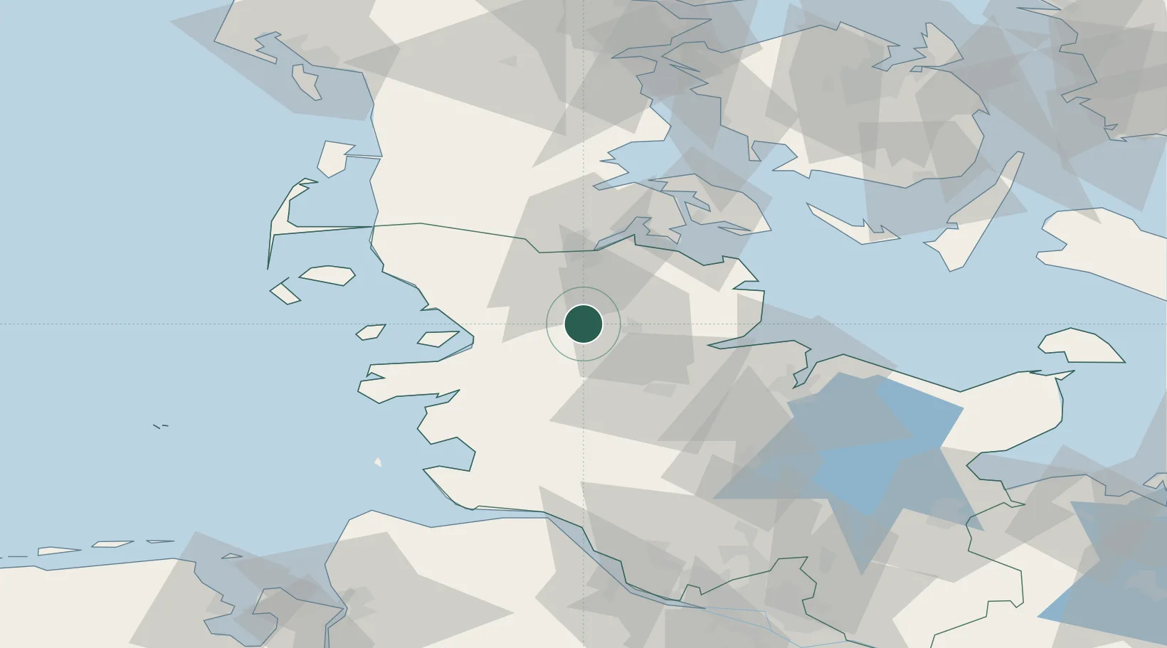
Location
Nearby Logistics Neighbours
Cities
- 1Dannewerk11 km
- 2Wester-Ohrstedt15 km
- 3Hallig17 km
- 4Jarplund21 km
- 5Ahlefeld-Bistensee24 km
Ports
- 1Husum24 km
- 2Flensburg28 km
- 3Eckernforde29 km
- 4Rendsburg33 km
- 5Kappeln37 km
Airports
- 1Schleswig Air Base13 km
- 2Hohn Air Base28 km
- 3Kiel-Holtenau Airport52 km
- 4Sønderborg Airport53 km
- 5Heide-Büsum Airport55 km
Trade Zones
DatabookThe Record of Consolidated Knowledge
Germany beyond logistics?