UN/LOCODE hub · Germany
DENOR

Nordstrand

54.5000°, 8.8833°
2
Transport functions

Transport Functions

Port
Road
UN/LOCODE

Hub Profile

Region
SH
GeoNames

Location

Location of DENOR
Natural Earth 10m (public domain) · SH · DENOR · 54.50, 8.88GoogleOSMYandex

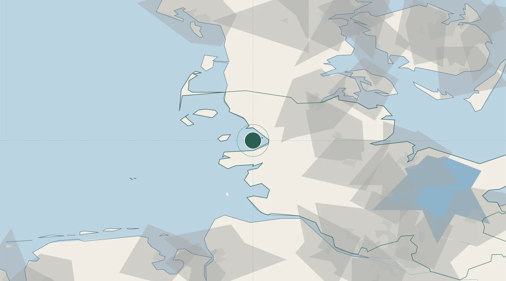
Nearby Logistics Neighbours

Cities
  1. 1Pellworm16 km
  2. 2Gröde18 km
  3. 3Wester-Ohrstedt20 km
  4. 4Garding20 km
  5. 5Schluettsiel22 km
Nearest neighbours — logibook spatial index (haversine) over the source coordinates
Ports
  1. 1Husum11 km
  2. 2Busum41 km
  3. 3Flensburg49 km
  4. 4Rendsburg56 km
  5. 5Eckernforde61 km
Nearest neighbours — logibook spatial index (haversine) over the source coordinates
Airports
  1. 1Heide-Büsum Airport39 km
  2. 2Schleswig Air Base41 km
  3. 3Hohn Air Base47 km
  4. 4Westerland Sylt Airport58 km
  5. 5Helgoland-Düne Airport72 km
Nearest neighbours — logibook spatial index (haversine) over the source coordinates
Trade Zones
  1. 1Freeport of Cuxhaven (Freihafen Cuxhaven)78 km
  2. 2Freeport of Kiel86 km
  3. 3Freeport of Bremerhaven (Freihafen Bremerhaven)157 km
  4. 4Freeport of Emden171 km
  5. 5Freeport of Copenhagen- Nordhavn272 km
Nearest neighbours — logibook spatial index (haversine) over the source coordinates
DatabookThe Record of Consolidated Knowledge
Germany beyond logistics?
Browse databook

All Sources

LocationsUN/LOCODE
UN/LOCODE — free
Portsthe NGA World Port Index
Public domain (US gov)
AirportsOurAirports
Public domain
Trade Zonesthe World Bank SEZ database
CC BY 4.0
Trade ZonesOpen Zone Map
CC BY
← Germany locations