Transport Functions
Port
Road
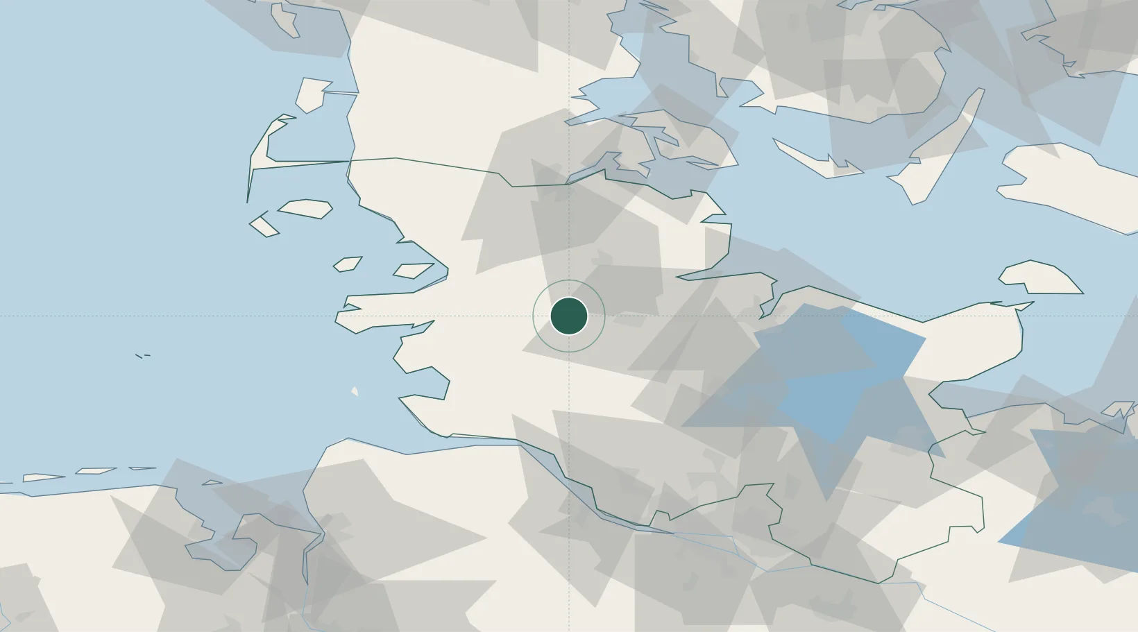
Location
Nearby Logistics Neighbours
Cities
- 1Eiderdeich6 km
- 2Elsdorf-Westermühlen9 km
- 3Pahlhude11 km
- 4Dellstedt12 km
- 5Büdelsdorf14 km
Ports
- 1Rendsburg16 km
- 2Eckernforde30 km
- 3Husum31 km
- 4Busum44 km
- 5Kiel44 km
Airports
- 1Hohn Air Base6 km
- 2Schleswig Air Base15 km
- 3Heide-Büsum Airport41 km
- 4Kiel-Holtenau Airport45 km
- 5Sønderborg Airport74 km
Trade Zones
DatabookThe Record of Consolidated Knowledge
Denmark beyond logistics?