Transport Functions
Multimodal
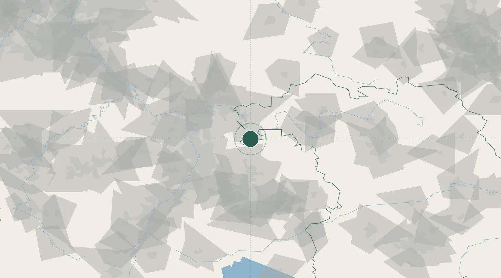
Hub Profile
Place type
Populated place
Region
Bavaria
Population
2,342
Time zone
Europe/Berlin
Elevation
152 m
Location
Nearby Logistics Neighbours
Cities
- 1Rüdenau8 km
- 2Grossheubach9 km
- 3Segnitz12 km
- 4Klingenberg am Main15 km
- 5Buchen17 km
Airports
- 1Frankfurt-Egelsbach Airport54 km
- 2Mannheim-City Airport54 km
- 3Niederstetten Army Air Base61 km
- 4Frankfurt Main Airport63 km
- 5Adolf Würth Airport72 km
Trade Zones
- 1ZFU Hautepierre162 km
- 2ZFU Neuhof163 km
- 3ZFU La Cité Behren-lès-Forbach174 km
- 4Luxembourg Free Port216 km
- 5ZFU Woippy-Metz229 km
DatabookThe Record of Consolidated Knowledge
Germany beyond logistics?