Transport Functions
Rail
Road
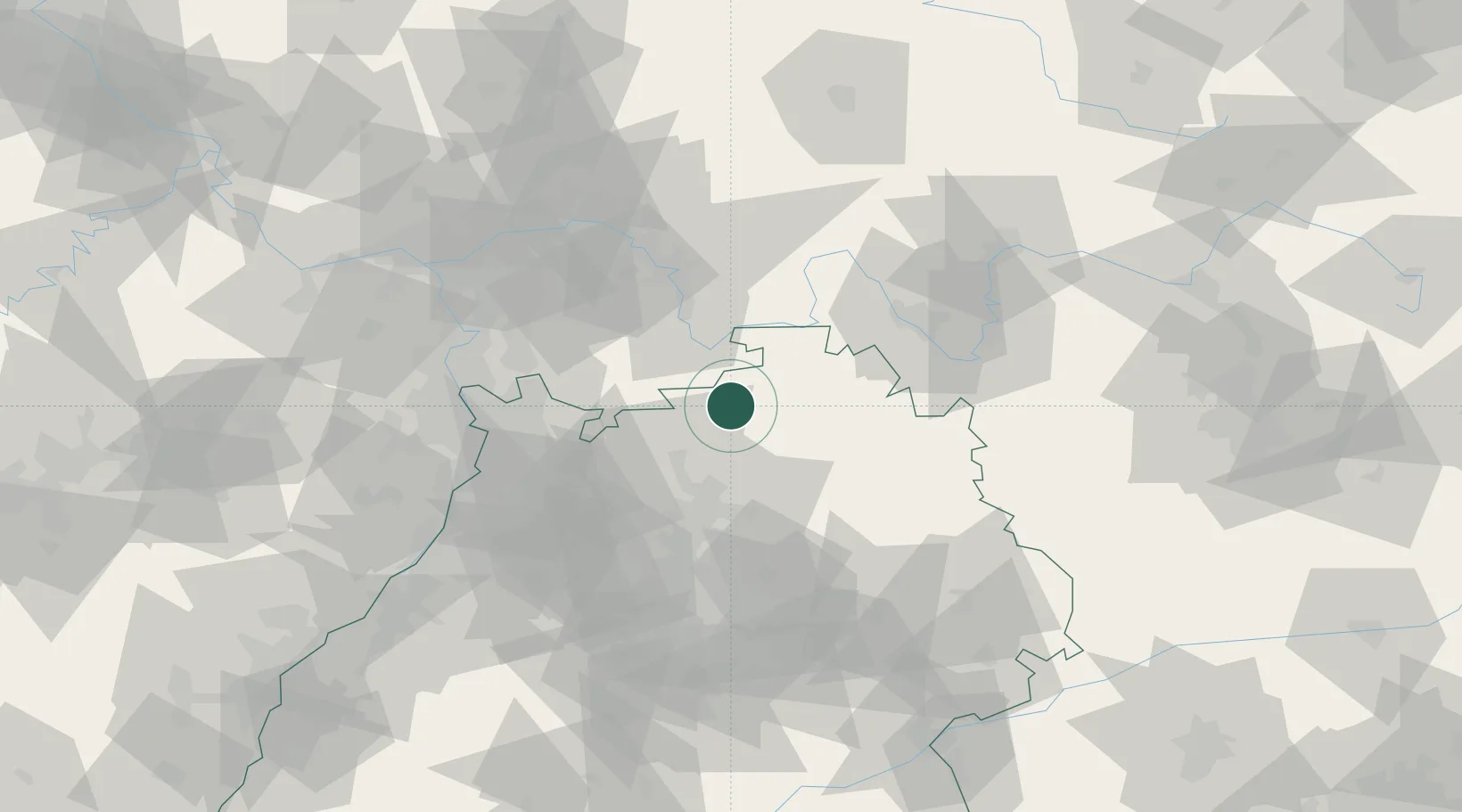
Hub Profile
Place type
Populated place
Region
Bavaria
Time zone
Europe/Berlin
Elevation
400 m
Location
Nearby Logistics Neighbours
Cities
- 1Seckach8 km
- 2Grosseichholzheim8 km
- 3Höpfingen13 km
- 4Rosenberg (Baden)13 km
- 5Schefflenz14 km
Airports
- 1Niederstetten Army Air Base48 km
- 2Adolf Würth Airport56 km
- 3Mannheim-City Airport58 km
- 4Frankfurt-Egelsbach Airport69 km
- 5Frankfurt Main Airport79 km
Trade Zones
- 1ZFU Hautepierre157 km
- 2ZFU Neuhof157 km
- 3ZFU La Cité Behren-lès-Forbach177 km
- 4Luxembourg Free Port224 km
- 5ZFU Woippy-Metz233 km
DatabookThe Record of Consolidated Knowledge
Germany beyond logistics?