Transport Functions
Multimodal
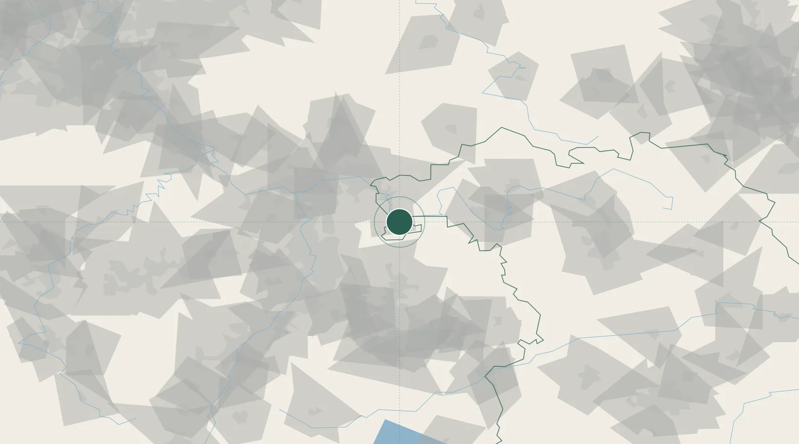
Hub Profile
Place type
Populated place
Region
Bavaria
Population
5,126
Time zone
Europe/Berlin
Elevation
133 m
Location
Nearby Logistics Neighbours
Cities
- 1Rüdenau4 km
- 2Segnitz6 km
- 3Klingenberg am Main7 km
- 4Erlenbach am Main9 km
- 5Weilbach9 km
Airports
- 1Frankfurt-Egelsbach Airport49 km
- 2Frankfurt Main Airport58 km
- 3Mannheim-City Airport59 km
- 4Niederstetten Army Air Base65 km
- 5Wiesbaden Army Airfield74 km
Trade Zones
- 1ZFU Hautepierre169 km
- 2ZFU Neuhof170 km
- 3ZFU La Cité Behren-lès-Forbach178 km
- 4Luxembourg Free Port217 km
- 5ZFU Woippy-Metz232 km
DatabookThe Record of Consolidated Knowledge
Germany beyond logistics?