Transport Functions
Road
Multimodal
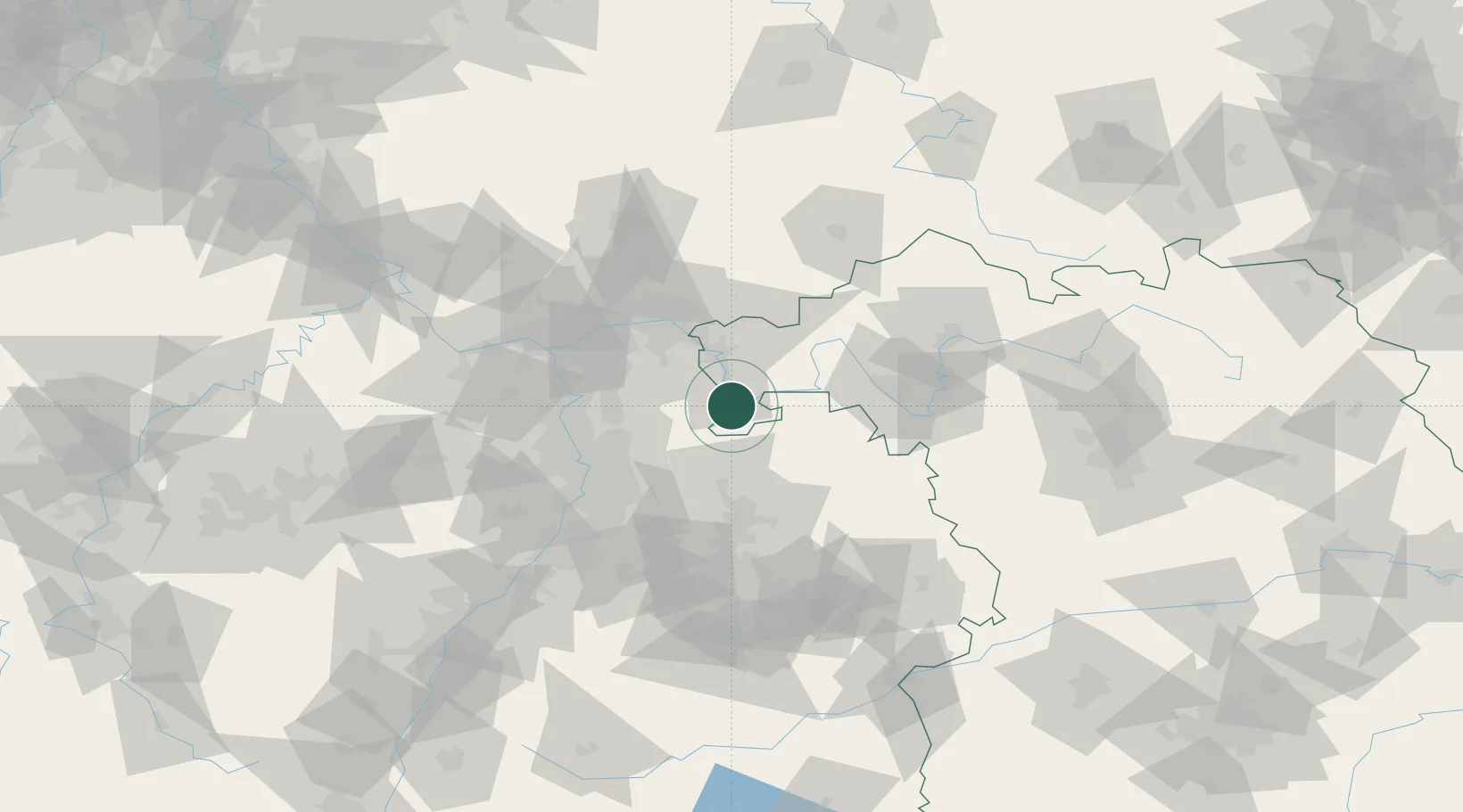
Hub Profile
Place type
Local administrative seat
Region
Bavaria
Population
866
Time zone
Europe/Berlin
Elevation
195 m
Location
Nearby Logistics Neighbours
Cities
- 1Grossheubach4 km
- 2Klingenberg am Main7 km
- 3Weilbach8 km
- 4Erlenbach am Main9 km
- 5Segnitz10 km
Airports
- 1Frankfurt-Egelsbach Airport47 km
- 2Mannheim-City Airport55 km
- 3Frankfurt Main Airport57 km
- 4Niederstetten Army Air Base67 km
- 5Wiesbaden Army Airfield72 km
Trade Zones
- 1ZFU Hautepierre165 km
- 2ZFU Neuhof167 km
- 3ZFU La Cité Behren-lès-Forbach174 km
- 4Luxembourg Free Port213 km
- 5ZFU Woippy-Metz228 km
DatabookThe Record of Consolidated Knowledge
Germany beyond logistics?