UN/LOCODE hub · Germany
DEKFT

Segnitz

49.7333°, 9.3167°
846
Population
1
Transport functions

Transport Functions

Port
UN/LOCODE

Hub Profile

Place type
Local administrative seat
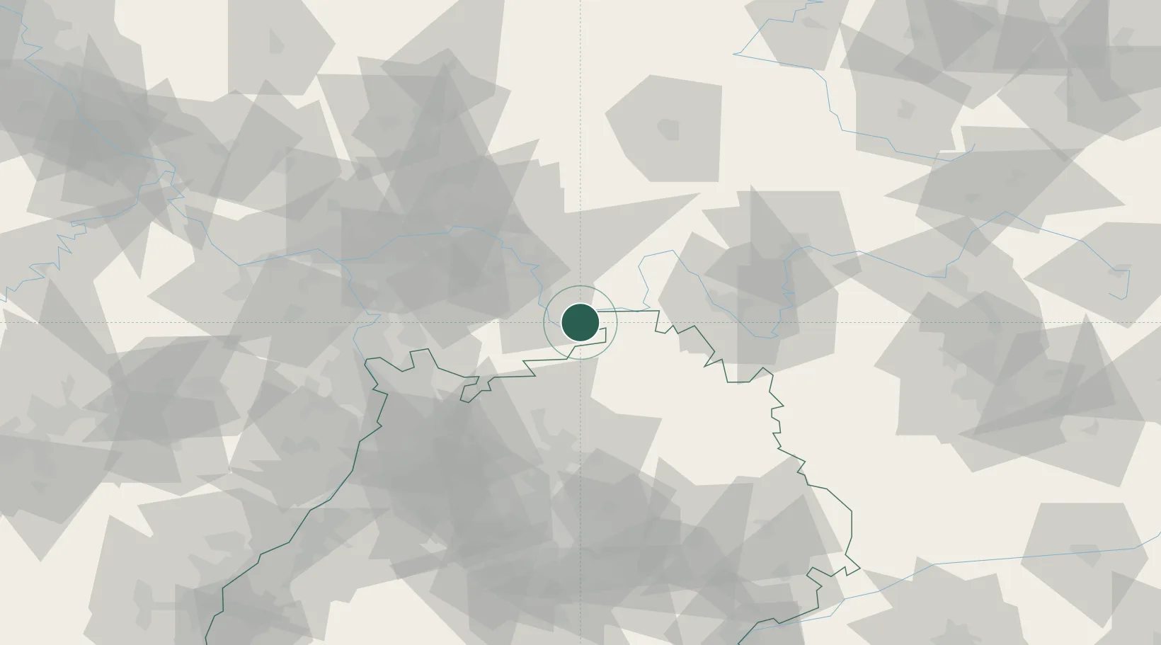
GeoNames
Region
Bavaria
GeoNames
Population
846
GeoNames
Time zone
Europe/Berlin
GeoNames
Elevation
185 m
GeoNames

Location

Location of DEKFT
Natural Earth 10m (public domain) · Bavaria · DEKFT · 49.73, 9.32GoogleOSMYandex

Nearby Logistics Neighbours

Cities
  1. 1Grossheubach6 km
  2. 2Stadtprozelten9 km
  3. 3Rüdenau10 km
  4. 4Faulbach10 km
  5. 5Klingenberg am Main11 km
Nearest neighbours — logibook spatial index (haversine) over the source coordinates
Ports
  1. 1Bruxelles375 km
  2. 2Bremen380 km
  3. 3Oldenburg384 km
  4. 4Antwerpen385 km
  5. 5Elsfleth394 km
Nearest neighbours — logibook spatial index (haversine) over the source coordinates
Airports
  1. 1Frankfurt-Egelsbach Airport55 km
  2. 2Niederstetten Army Air Base60 km
  3. 3Frankfurt Main Airport63 km
  4. 4Mannheim-City Airport65 km
  5. 5Adolf Würth Airport76 km
Nearest neighbours — logibook spatial index (haversine) over the source coordinates
Trade Zones
  1. 1ZFU Hautepierre173 km
  2. 2ZFU Neuhof174 km
  3. 3ZFU La Cité Behren-lès-Forbach184 km
  4. 4Luxembourg Free Port223 km
  5. 5ZFU Woippy-Metz238 km
Nearest neighbours — logibook spatial index (haversine) over the source coordinates
DatabookThe Record of Consolidated Knowledge
Germany beyond logistics?
Browse databook

All Sources

LocationsUN/LOCODE
UN/LOCODE — free
LocationsGeoNames
CC BY 4.0
Portsthe NGA World Port Index
Public domain (US gov)
AirportsOurAirports
Public domain
Trade Zonesthe World Bank SEZ database
CC BY 4.0
Trade ZonesOpen Zone Map
CC BY
← Germany locations