UN/LOCODE hub · Germany
DEKLI
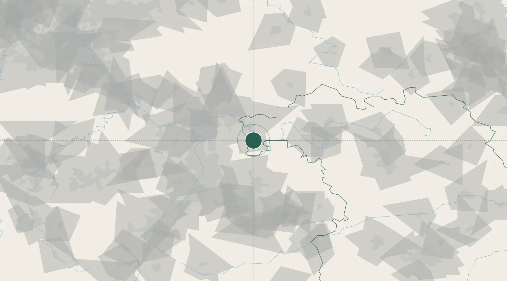
Klingenberg am Main
49.7833°, 9.1833°
6,294
Population
2
Transport functions
Transport Functions
Rail
Road
Hub Profile
Place type
Populated place
Region
Bavaria
Population
6,294
Time zone
Europe/Berlin
Elevation
125 m
Location
Nearby Logistics Neighbours
Cities
- 1Erlenbach am Main2 km
- 2Elsenfeld6 km
- 3Obernburg am Main7 km
- 4Grossheubach7 km
- 5Lützelbach7 km
Airports
- 1Frankfurt-Egelsbach Airport43 km
- 2Frankfurt Main Airport52 km
- 3Mannheim-City Airport59 km
- 4Wiesbaden Army Airfield68 km
- 5Niederstetten Army Air Base71 km
Trade Zones
- 1ZFU Hautepierre171 km
- 2ZFU Neuhof173 km
- 3ZFU La Cité Behren-lès-Forbach177 km
- 4Luxembourg Free Port214 km
- 5ZFU Woippy-Metz230 km
DatabookThe Record of Consolidated Knowledge
Germany beyond logistics?