Transport Functions
Rail
Road
Hub Profile
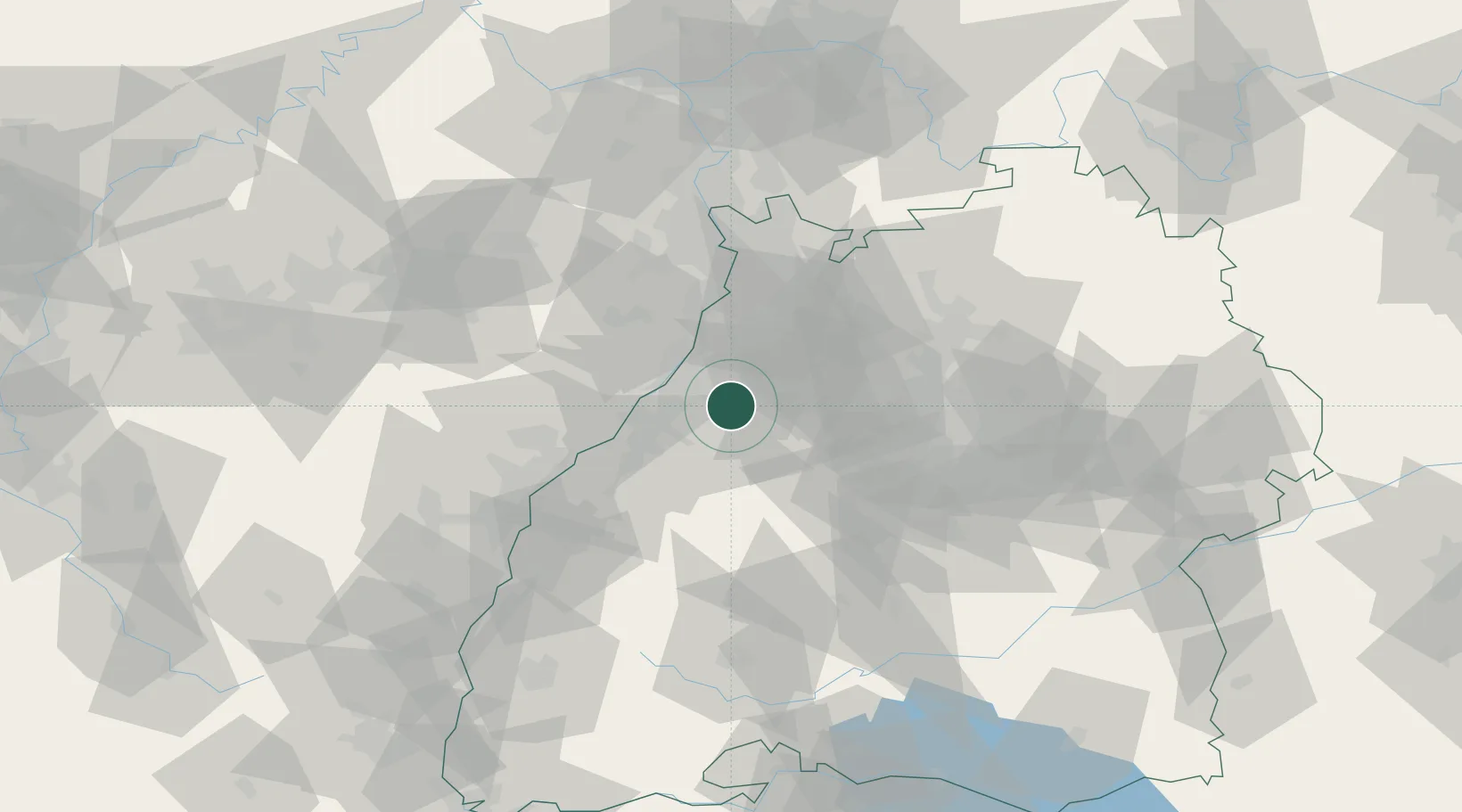
Region
BW
Location
Nearby Logistics Neighbours
Cities
- 1Karlsbad1 km
- 2Remchingen7 km
- 3Niebelsbach7 km
- 4Keltern8 km
- 5Kaempfelbach10 km
Airports
- 1Karlsruhe Baden-Baden Airport33 km
- 2Stuttgart Airport60 km
- 3Mannheim-City Airport62 km
- 4Strasbourg Airport76 km
- 5Lahr Airport78 km
Trade Zones
- 1ZFU Neuhof67 km
- 2ZFU Hautepierre68 km
- 3ZFU La Cité Behren-lès-Forbach117 km
- 4ZFU Mulhouse155 km
- 5ZFU Metz171 km
DatabookThe Record of Consolidated Knowledge
Germany beyond logistics?