Transport Functions
Multimodal
Hub Profile
Region
BW
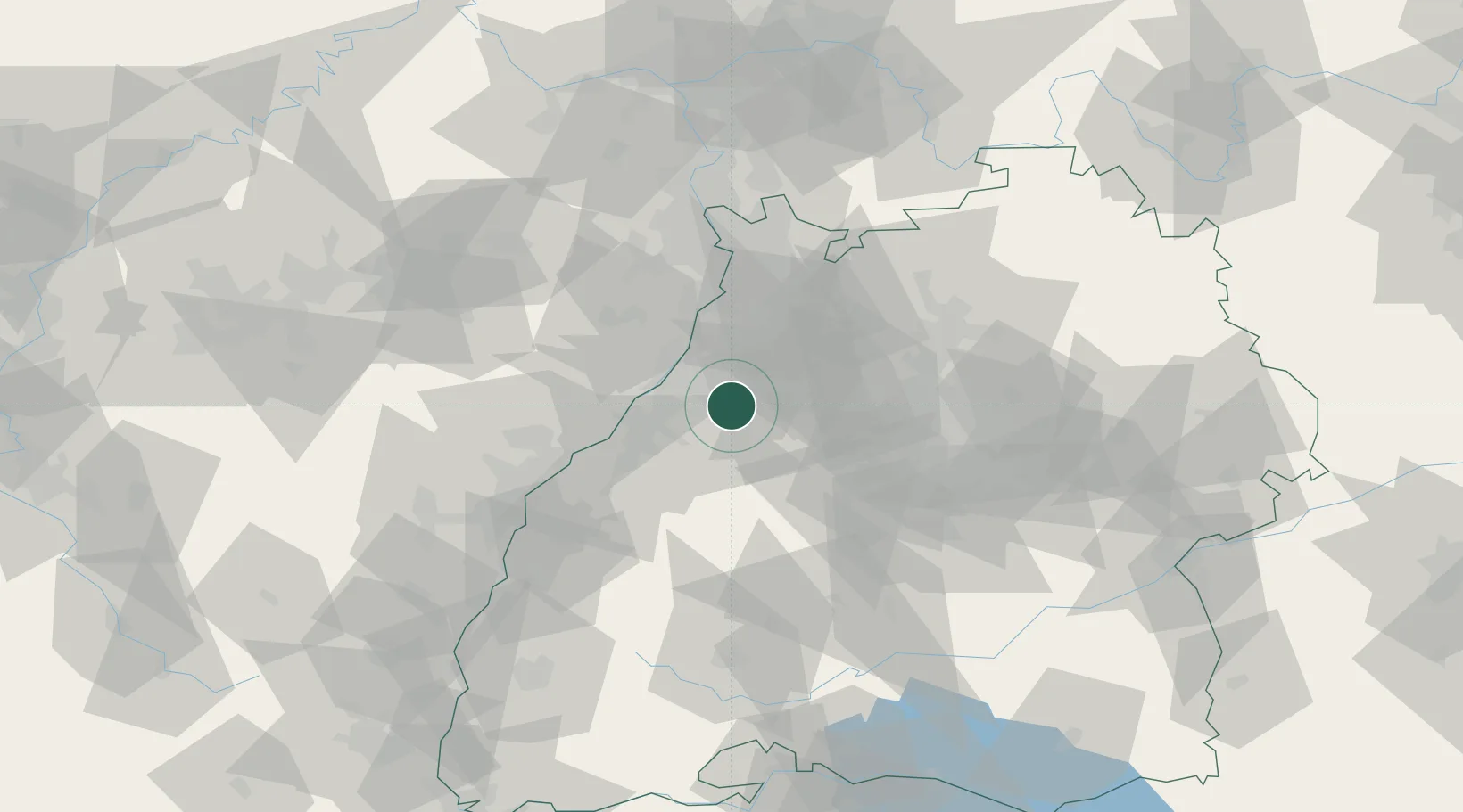
Location
Nearby Logistics Neighbours
Cities
- 1Waldbronn1 km
- 2Remchingen6 km
- 3Niebelsbach6 km
- 4Keltern6 km
- 5Kaempfelbach9 km
Airports
- 1Karlsruhe Baden-Baden Airport34 km
- 2Stuttgart Airport59 km
- 3Mannheim-City Airport62 km
- 4Strasbourg Airport77 km
- 5Lahr Airport78 km
Trade Zones
- 1ZFU Neuhof68 km
- 2ZFU Hautepierre69 km
- 3ZFU La Cité Behren-lès-Forbach118 km
- 4ZFU Mulhouse156 km
- 5ZFU Metz172 km
DatabookThe Record of Consolidated Knowledge
Germany beyond logistics?