Transport Functions
Rail
Road
Hub Profile
Place type
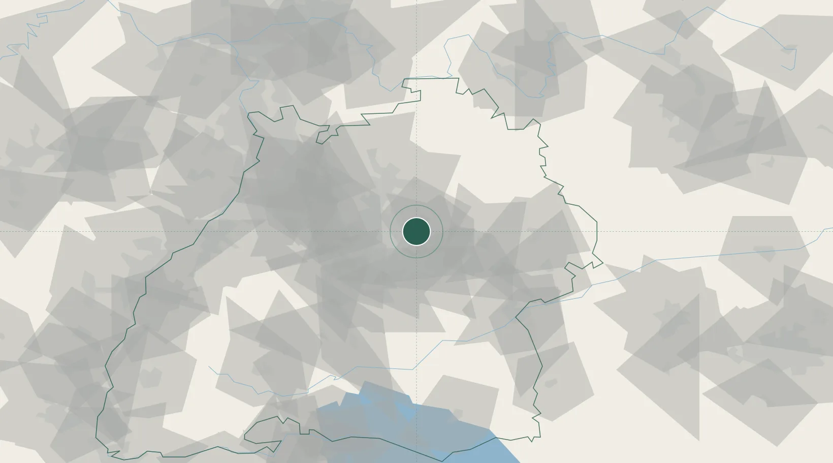
Populated place
Region
Baden-Wurttemberg
Population
28,334
Time zone
Europe/Berlin
Elevation
293 m
Location
Nearby Logistics Neighbours
Cities
- 1Leutenbach0 km
- 2Weinstadt8 km
- 3Auenwald9 km
- 4Waiblingen9 km
- 5Aspach9 km
Ports
- 1Bruxelles424 km
- 2Antwerpen441 km
- 3Porto Di Lido-Venezia449 km
- 4Nogaro449 km
- 5Grado460 km
Airports
- 1Stuttgart Airport25 km
- 2Adolf Würth Airport38 km
- 3Niederstetten Army Air Base70 km
- 4Laupheim Air Base83 km
- 5Mannheim-City Airport92 km
Trade Zones
- 1ZFU Neuhof126 km
- 2ZFU Hautepierre129 km
- 3ZFU La Cité Behren-lès-Forbach183 km
- 4ZFU Mulhouse198 km
- 5ZFU Belfort236 km
DatabookThe Record of Consolidated Knowledge
Germany beyond logistics?