Transport Functions
Rail
Road
Hub Profile
Place type
Urban district
Region
Rheinland-Pfalz
Time zone
Europe/Berlin
Elevation
95 m
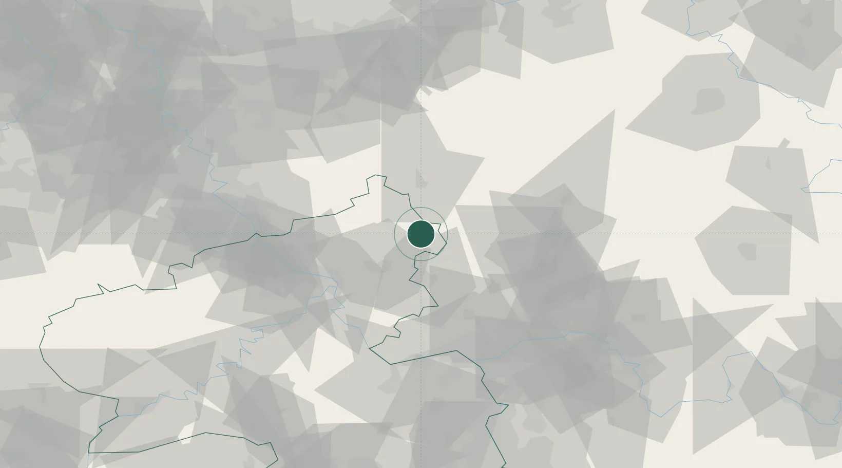
Location
Nearby Logistics Neighbours
Cities
- 1Hof4 km
- 2Stockhausen-Illfurth4 km
- 3Hohn4 km
- 4Dreisbach7 km
- 5Hardt8 km
Airports
- 1Siegerland Airport9 km
- 2Cologne Bonn Airport68 km
- 3Wiesbaden Army Airfield68 km
- 4Mainz-Finthen Airfield75 km
- 5Frankfurt Main Airport77 km
Trade Zones
- 1Rheinische Revier SWZ120 km
- 2Freeport of Duisburg136 km
- 3Luxembourg Free Port170 km
- 4ZFU La Cité Behren-lès-Forbach181 km
- 5ZFU Woippy-Metz213 km
DatabookThe Record of Consolidated Knowledge
Germany beyond logistics?