UN/LOCODE hub · Germany
DEUTW

Uttenweiler

48.1500°, 9.6167°
3,770
Population
1
Transport functions

Transport Functions

Multimodal
UN/LOCODE

Hub Profile

Place type
Local administrative seat
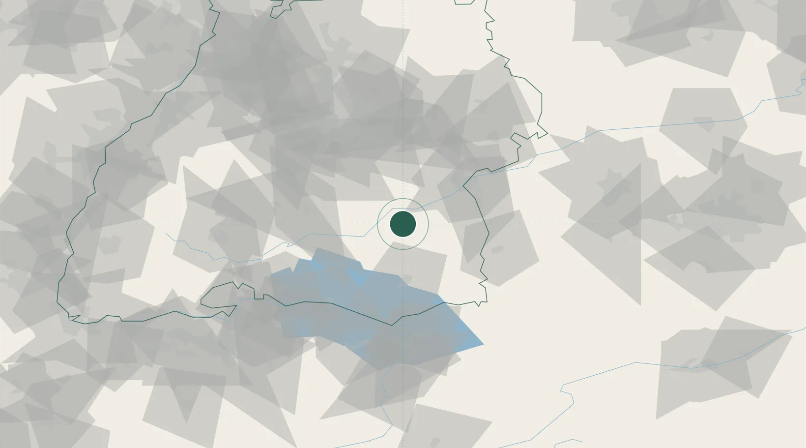
GeoNames
Region
Baden-Wurttemberg
GeoNames
Population
3,770
GeoNames
Time zone
Europe/Berlin
GeoNames
Elevation
576 m
GeoNames

Location

Location of DEUTW
Natural Earth 10m (public domain) · Baden-Wurttemberg · DEUTW · 48.15, 9.62GoogleOSMYandex

Nearby Logistics Neighbours

Cities
  1. 1Untermarchtal9 km
  2. 2Rottenacker11 km
  3. 3Riedlingen11 km
  4. 4Ertingen12 km
  5. 5Schemmerberg15 km
Nearest neighbours — logibook spatial index (haversine) over the source coordinates
Ports
  1. 1Porto Di Lido-Venezia372 km
  2. 2Nogaro379 km
  3. 3Porto Di Chioggia383 km
  4. 4Grado391 km
  5. 5Monfalcone398 km
Nearest neighbours — logibook spatial index (haversine) over the source coordinates
Airports
  1. 1Mengen-Hohentengen Airfield21 km
  2. 2Laupheim Air Base23 km
  3. 3Memmingen Allgau Airport50 km
  4. 4Bodensee Airport Friedrichshafen54 km
  5. 5Stuttgart Airport67 km
Nearest neighbours — logibook spatial index (haversine) over the source coordinates
Trade Zones
  1. 1ZFU Neuhof144 km
  2. 2ZFU Hautepierre151 km
  3. 3ZFU Mulhouse176 km
  4. 4Livigno Free Trade Zone184 km
  5. 5ZFU Belfort217 km
Nearest neighbours — logibook spatial index (haversine) over the source coordinates
DatabookThe Record of Consolidated Knowledge
Germany beyond logistics?
Browse databook

All Sources

LocationsUN/LOCODE
UN/LOCODE — free
LocationsGeoNames
CC BY 4.0
Portsthe NGA World Port Index
Public domain (US gov)
AirportsOurAirports
Public domain
Trade Zonesthe World Bank SEZ database
CC BY 4.0
Trade ZonesOpen Zone Map
CC BY
← Germany locations