Transport Functions
Rail
Road
Hub Profile
Place type
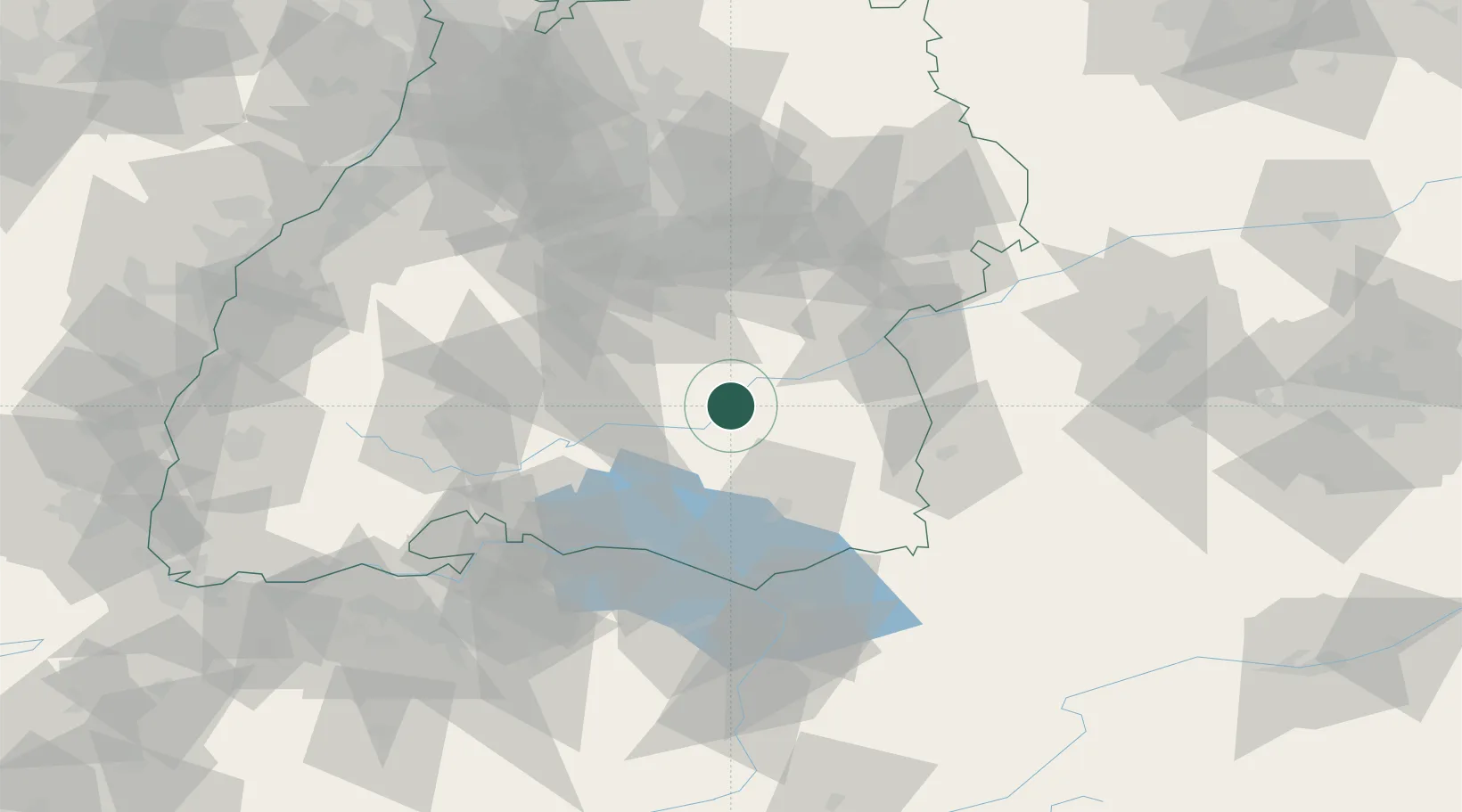
Populated place
Region
Baden-Wurttemberg
Population
10,394
Time zone
Europe/Berlin
Elevation
540 m
Location
Nearby Logistics Neighbours
Cities
- 1Ertingen6 km
- 2Langenenslingen7 km
- 3Herbertingen10 km
- 4Uttenweiler11 km
- 5Untermarchtal15 km
Ports
- 1Porto Di Lido-Venezia379 km
- 2Nogaro387 km
- 3Porto Di Chioggia390 km
- 4Grado399 km
- 5Monfalcone406 km
Airports
- 1Mengen-Hohentengen Airfield13 km
- 2Laupheim Air Base34 km
- 3Bodensee Airport Friedrichshafen53 km
- 4Memmingen Allgau Airport60 km
- 5Stuttgart Airport63 km
Trade Zones
- 1ZFU Neuhof133 km
- 2ZFU Hautepierre140 km
- 3ZFU Mulhouse165 km
- 4Livigno Free Trade Zone186 km
- 5ZFU Belfort206 km
DatabookThe Record of Consolidated Knowledge
Germany beyond logistics?