Transport Functions
Rail
Road
Hub Profile
Place type
Populated place
Region
Baden-Wurttemberg
Time zone
Europe/Berlin
Elevation
511 m
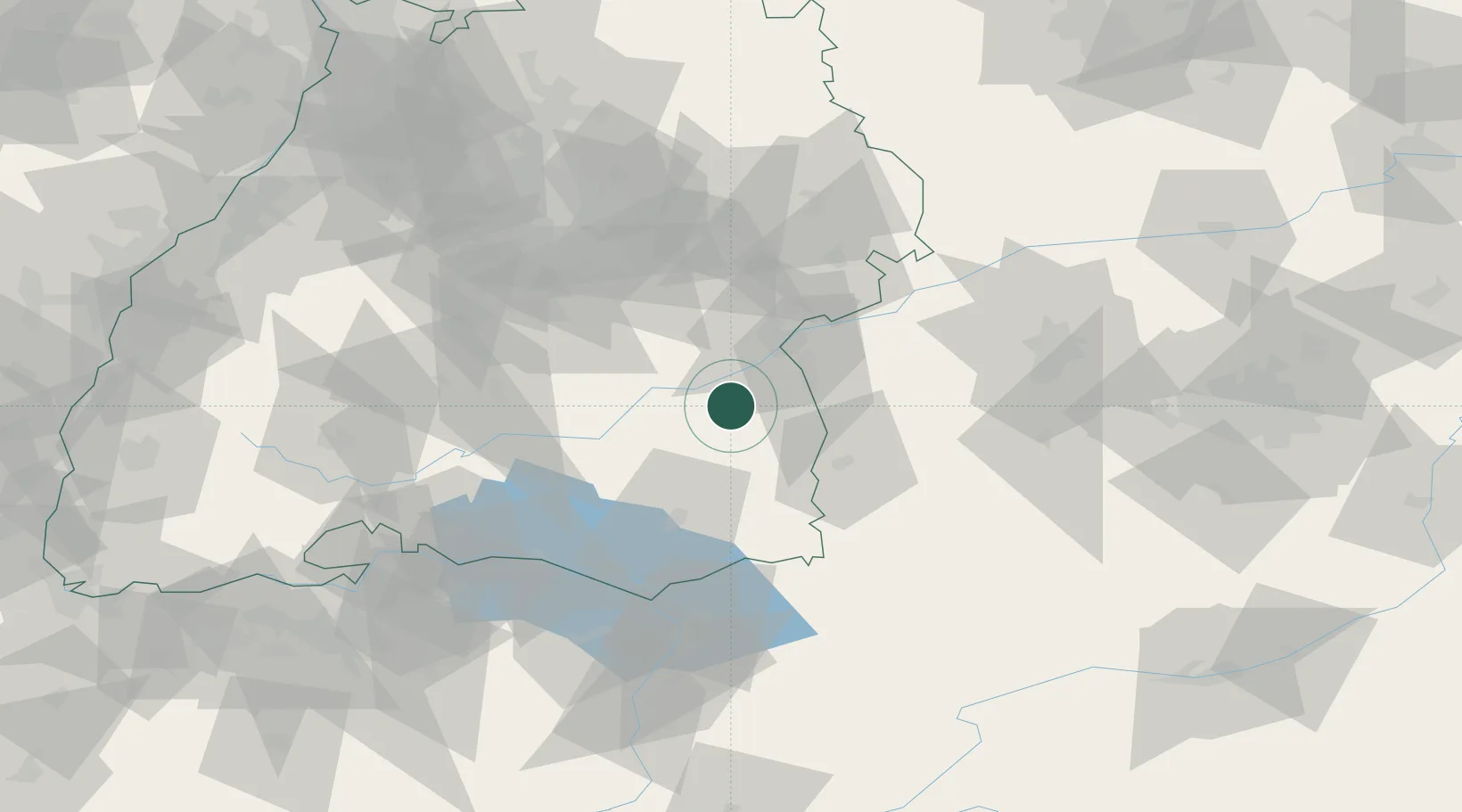
Location
Nearby Logistics Neighbours
Cities
- 1Burgrieden10 km
- 2Achstetten11 km
- 3Rottenacker11 km
- 4Ehingen13 km
- 5Dellmensingen14 km
Ports
- 1Porto Di Lido-Venezia366 km
- 2Nogaro371 km
- 3Porto Di Chioggia379 km
- 4Grado382 km
- 5Monfalcone389 km
Airports
Trade Zones
- 1ZFU Neuhof157 km
- 2ZFU Hautepierre163 km
- 3Livigno Free Trade Zone185 km
- 4ZFU Mulhouse191 km
- 5ZFU Belfort232 km
DatabookThe Record of Consolidated Knowledge
Germany beyond logistics?